Are you a property professional?Get qualified leads from motivated homeowners.
Get started1 Camping Close, Mattishall, Dereham, NR20 3RB
3 planning records
About 1 Camping Close
A plain-English summary derived from public records, EPC certificates, sold prices and local data.
1 Camping Close is a three-bedroom detached house in Mattishall, Dereham, Dereham (NR20 3RB). It has a recorded floor area of 92 m² (around 990 sq ft), construction records dating it to 1967-1975 and council tax band C. The latest certificate (October 2012) shows a D (score 58), a step below the typical UK home. The recommended improvements would lift it to B (score 82), a 2-band jump. Main heating runs on oil. The latest certificate is from October 2012, so improvements made since then won't be reflected. Other recorded features include a conservatory. The home occupies a cul-de-sac position.
Sale prices here have outpaced England HPI: 5.3% per year against 0% for the wider region. Today's modelled estimate of £263,000 sits 83.9% above the 2013 sale of £143,000. 3 planning records sit against the property, 2 approved, 0 refused. Past consents include an extension and an annexe, meaningful when judging how the property has evolved. Last sold in July 2013, so it's been off the market for around 13 years.
What this property has
Pulled from EPC certificates, claim submissions and our property model. Empty categories are hidden — we only show what's known.
Inside
- Bedrooms3
- Dining roomYes
- CloakroomYes
- ConservatoryYes
Energy performance
Every EPC certificate filed against this property — current rating, recorded improvements, and where there's headroom to reach a higher band.
Recommended upgrades on file would lift this property by multiple EPC bands.
EPC Expired
This certificate is over 10 years old and is no longer valid.Expired 23 Oct 2022
Planning history
Applications and permits filed against 1 Camping Close, Mattishall, Dereham, NR20 3RB, sourced from the PlanIt planning register.
- Jun 2025ConditionsDischarge of Condition
Discharge of condition 5 on pp 3PL/2021/0673/HOU
Sales history & valuation
Recorded transactions, our model's current estimate, and a quick read on what neighbouring properties have sold for.
1 Camping Close has more than doubled in price since the earliest registered sale in 1996.
Current estimate
See how we calculated this£263,000
Modelled from EPC, postcode comparables and a sale-price growth of 5.3% per year over 17 years.
Last sold (2013)
£143,000
Growth on file: 5.3% per year over 17 years.
Sales timeline
Full property reportLaunch offer · 33% off
The complete analysis of 1 Camping Close, Mattishall, Dereham, NR20 3RB
Everything we know about this property, compiled into one in-depth, downloadable report.
Detailed AI analysis
Similar properties nearby
A handful of close matches in the same postcode area, ranked by likeness on bedrooms, type and floor area.
The neighbourhood at a glance
A condensed read of the local area. Each tile links through to the full breakdown on the Dereham district page.
Daytime road noise here sits well below conversation level — a quiet pocket of the postcode.
Crime
1/mo
Steady year-on-year across the wider district.
Closest school
0.4 km
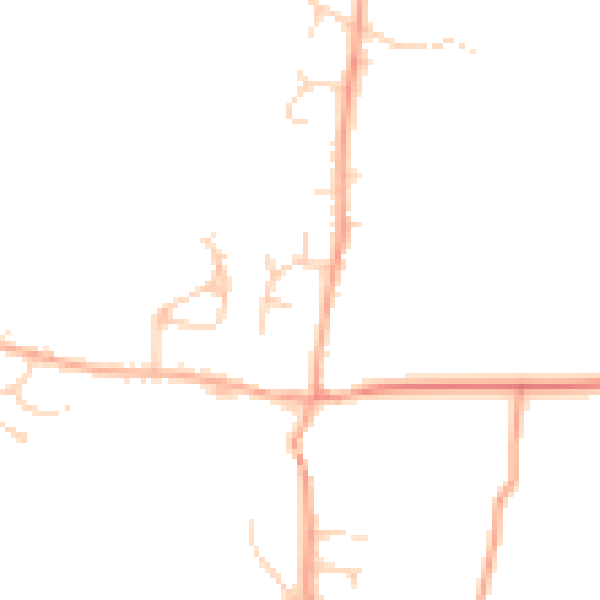
Road noise across the postcode
Modelled day and night-time noise levels around NR20 3RB from Defra's strategic mapping. The pin marks this postcode's centroid.
Daytime· 07:00 – 23:00
44.2dB

Everything within walking distance
Schools, transport stops and scenic spots near this property — 2 points of interest in total.
Common questions
The questions buyers, sellers and homeowners most often ask about 1 Camping Close, Mattishall, Dereham, NR20 3RB. Each answer is also embedded as structured data for search engines.