19 Albini Way, Wymondham, NR18 0UE
About 19 Albini Way
19 Albini Way is a detached house in Wymondham (NR18 0UE). It has a recorded floor area of 122 m² (around 1313 sq ft) and council tax band E. The latest certificate (January 2013) returns a B (score 83), comfortably above the UK average. The latest certificate is from January 2013, so improvements made since then won't be reflected.
Last sold in September 2015, so it's been off the market for around 11 years. Across 2013–2015, sale prices on this property compounded at 3.6% per year. Today's modelled estimate of £421,000 is 35.8% above the 2015 sale price.
Know exactly what you're buying at 19 Albini Way
Before you offer, see what the listing won't tell you, the true value, the red flags and the full history.
Valuation
against the asking price
Risks
planning & flood
Sold prices
similar homes nearby
Trends
the local market
Energy performance
19 Albini Way's EPC is over a decade old — improvements since won't be reflected.
EPC Expired
This certificate is over 10 years old and is no longer valid.Expired 04 Jan 2023
EPC Rating
Planning history
19 Albini Way has no planning applications on record.
The full report still covers planning activity across the surrounding area.
Sales history & valuation
19 Albini Way valuation sits well clear of the typical sold price in this postcode.
£421,000
Modelled from EPC, postcode comparables and a sale-price growth of 3.6% per year over 3 years.
£310,000
Growth on file: 3.6% per year over 3 years.
Sales timeline
3 September 2015Most recent
£310,000
+9.6%over 2 years25 January 2013
£282,950
Median price across the last 5 sales in NR18 0UE: £350,000 (2025–2022).
Everything we know about 19 Albini Way, in one report
What it's really worth, what could be wrong, and the planning, sales and area data in full.
- Am I paying too much?
- Is something wrong with it?
- Is the agent's story true?
- Will it hold its value?

Versus other Albini Way homes
19 Albini Way outperforms the street on floor area by a wide margin.
Price per m²
£2,541
Street avg £2,699
Floor Area
122 m²
Street avg 104 m²
CO₂ Emissions
1.9 t/year
Street avg 1.7 t/year
Years Held
11 years
Street avg 9 years
Similar properties nearby
The neighbourhood at a glance
Crime
4/mo
Steady year-on-year across the wider district.
Nearest stop
2.7 km
Wymondham Rail Station — railway station.
Closest school
1.3 km
Ashleigh Primary School and Nursery, Wymondham. 5 schools nearby.
Go deeper on the local area
The full report breaks down crime, transport links, schools and air quality in depth.
Road noise across the postcode
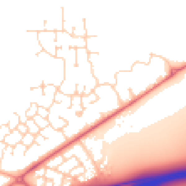
Daytime· 07:00 – 23:00
52.0dB

Night-time· 23:00 – 07:00
43.1dB