61a, Norwich Common, Wymondham, NR18 0SW
About 61a
61a is a detached house in Wymondham (NR18 0SW). It has a recorded floor area of 209 m² (around 2250 sq ft). The latest certificate (July 2019) returns a B (score 84), comfortably above the UK average. Main heating runs on electricity: electricity, unspecified tariff.
At 209 m² the property is well over the postcode median (155 m² across 15 EPCs), placing it in the larger end of the local stock. Its energy rating outperforms most of the postcode (better than 87% of similar EPCs). Today's modelled estimate of £859,000 is 20.1% above the 2019 sale price. On a £-per-square-foot basis, the last sale (£318/sq ft) was about 48.2% above the typical sold price in the postcode. Most recent transfer: July 2019 at £715,000.
Know exactly what you're buying at 61a
Before you offer, see what the listing won't tell you, the true value, the red flags and the full history.
Valuation
against the asking price
Risks
planning & flood
Sold prices
similar homes nearby
Trends
the local market
Energy performance
Achieving this rating across a home of this size is uncommon — larger homes typically score lower.
EPC Rating
Planning history
61a has no planning applications on record.
The full report still covers planning activity across the surrounding area.
Sales history & valuation
61a valuation sits well clear of the typical sold price in this postcode.
£859,000
Modelled from EPC, postcode comparables.
£715,000
Recorded with HM Land Registry.
Sales timeline
25 July 2019Most recent
£715,000
Median price across the last 5 sales in NR18 0SW: £279,650 (2024–2021).
Nearby sales in NR18 0SW
Everything we know about 61a, in one report
What it's really worth, what could be wrong, and the planning, sales and area data in full.
- Am I paying too much?
- Is something wrong with it?
- Is the agent's story true?
- Will it hold its value?

Versus other Norwich Common homes
61a outperforms the street on epc rating by a wide margin.
Price per m²
£3,421
Street avg £2,788
Floor Area
209 m²
Street avg 157 m²
CO₂ Emissions
2.7 t/year
Street avg 4.6 t/year
Years Held
7 years
Street avg 10 years
Similar properties nearby
The neighbourhood at a glance
Crime
4/mo
Steady year-on-year across the wider district.
Nearest stop
3.0 km
Wymondham Rail Station — railway station.
Closest school
1.6 km
Ashleigh Primary School and Nursery, Wymondham. 7 schools nearby.
Go deeper on the local area
The full report breaks down crime, transport links, schools and air quality in depth.
Road noise across the postcode
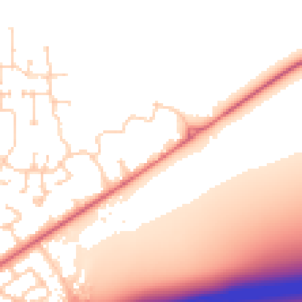
Daytime· 07:00 – 23:00
53.7dB
Night-time· 23:00 – 07:00
45.4dB