16 Ash Close, Wymondham, NR18 0HR
About 16 Ash Close
16 Ash Close is a three-bedroom semi-detached house in Wymondham (NR18 0HR). It has a recorded floor area of 61 m² (around 657 sq ft), construction records dating it to 1967-1975 and council tax band B. The latest certificate (November 2017) shows an E (score 51), well below the UK norm with real room to improve. The recommended improvements would lift it to B (score 85), a 3-band jump. Main heating runs on oil.
At 61 m² it's 25.2% smaller than the typical home in the postcode (82 m² median across 30 EPCs). On energy efficiency it sits in the bottom 10% of properties in this postcode — significant headroom for improvement. Across 1995–2018, sale prices on this property compounded at 5.8% per year. Today's modelled estimate of £253,000 sits 56.7% above the 2018 sale of £161,500. On a £-per-square-foot basis, the last sale (£246/sq ft) was about 40.5% above the typical sold price in the postcode. Sold July 2018 for £161,500.
Know exactly what you're buying at 16 Ash Close
Before you offer, see what the listing won't tell you, the true value, the red flags and the full history.
Valuation
against the asking price
Risks
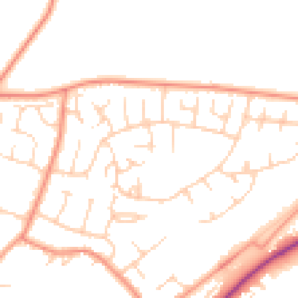
planning & flood
Sold prices
similar homes nearby
Trends
the local market
What this property has
Inside
- Bedrooms3
- Bathrooms2
Energy performance
16 Ash Close sits at the bottom of the postcode for energy efficiency — meaningful headroom to improve.
EPC Rating
Planning history
16 Ash Close has no planning applications on record.
The full report still covers planning activity across the surrounding area.
Sales history & valuation
Sale price has grown by over 3x since 1995.
£253,000
Modelled from EPC, postcode comparables and a sale-price growth of 5.8% per year over 23 years.
£161,500
Growth on file: 5.8% per year over 23 years.
Sales timeline
26 July 2018Most recent
£161,500
+275.6%over 23 years24 March 1995
£43,000
Median price across the last 5 sales in NR18 0HR: £375,000 (2025–2023).
Everything we know about 16 Ash Close, in one report
What it's really worth, what could be wrong, and the planning, sales and area data in full.
- Am I paying too much?
- Is something wrong with it?
- Is the agent's story true?
- Will it hold its value?

Versus other Ash Close homes
On epc rating, 16 Ash Close runs well behind the street norm.
Price per m²
£2,648
Street avg £2,742
Floor Area
61 m²
Street avg 80 m²
Habitable Rooms
3 rooms
Street avg 4 rooms
CO₂ Emissions
4.5 t/year
Street avg 2.7 t/year
Similar properties nearby
The neighbourhood at a glance
Daytime road noise here sits well below conversation level — a quiet pocket of the postcode.
Crime
4/mo
Steady year-on-year across the wider district.
Nearest stop
1.6 km
Wymondham Abbey (Mid Norfolk Railway) — subway entrance.
Closest school
0.2 km
Ashleigh Primary School and Nursery, Wymondham. 5 schools nearby.
Go deeper on the local area
The full report breaks down crime, transport links, schools and air quality in depth.
Road noise across the postcode
Daytime· 07:00 – 23:00
49.5dB
Night-time· 23:00 – 07:00
40.2dB