10 Ash Close, Wymondham, NR18 0HR
About 10 Ash Close
10 Ash Close is a two-bedroom semi-detached house in Wymondham (NR18 0HR). It has a recorded floor area of 65 m² (around 700 sq ft), construction records dating it to 1976-1982 and council tax band B. The latest certificate (March 2014) shows a D (score 57), a step below the typical UK home. The recommended improvements would lift it to B (score 88), a 2-band jump. The latest certificate is from March 2014, so improvements made since then won't be reflected. Other recorded features include a conservatory. The home occupies a cul-de-sac position.
Across 1998–2014, sale prices on this property compounded at 8.4% per year. Today's modelled estimate of £229,000 is 43.1% above the 2014 sale price. On a £-per-square-foot basis, the last sale (£229/sq ft) was about 30.7% above the typical sold price in the postcode. 12 years since the last transfer (April 2014). At 65 m² it's 20.2% smaller than the typical home in the postcode (82 m² median across 30 EPCs).
Know exactly what you're buying at 10 Ash Close
Before you offer, see what the listing won't tell you, the true value, the red flags and the full history.
Valuation
against the asking price
Risks
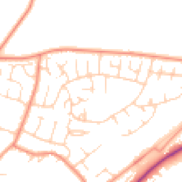
planning & flood
Sold prices
similar homes nearby
Trends
the local market
What this property has
Inside
- Bedrooms2
- Dining roomYes
- ConservatoryYes
Outside
- Private gardenRear
- GarageYes
- Cul-de-sacYes
Building
- Heating systemGas
Energy performance
Recommended upgrades on file would lift this property by multiple EPC bands.
EPC Expired
This certificate is over 10 years old and is no longer valid.Expired 05 Mar 2024
EPC Rating
Planning history
10 Ash Close has no planning applications on record.
The full report still covers planning activity across the surrounding area.
Sales history & valuation
Sale price has grown by over 3x since 1998.
£229,000
Modelled from EPC, postcode comparables and a sale-price growth of 8.4% per year over 16 years.
£160,000
Growth on file: 8.4% per year over 16 years.
Sales timeline
24 April 2014Most recent
£160,000
+263.6%over 15 years11 May 1998
£44,000
Median price across the last 5 sales in NR18 0HR: £375,000 (2025–2023).
Everything we know about 10 Ash Close, in one report
What it's really worth, what could be wrong, and the planning, sales and area data in full.
- Am I paying too much?
- Is something wrong with it?
- Is the agent's story true?
- Will it hold its value?

Versus other Ash Close homes
EPC Rating for 10 Ash Close lags the street by a wide margin.
Price per m²
£2,462
Street avg £2,748
Floor Area
65 m²
Street avg 80 m²
Habitable Rooms
3 rooms
Street avg 4 rooms
CO₂ Emissions
3.7 t/year
Street avg 2.7 t/year
Similar properties nearby
The neighbourhood at a glance
Daytime road noise here sits well below conversation level — a quiet pocket of the postcode.
Crime
4/mo
Steady year-on-year across the wider district.
Nearest stop
1.6 km
Wymondham Abbey (Mid Norfolk Railway) — subway entrance.
Closest school
0.2 km
Ashleigh Primary School and Nursery, Wymondham. 5 schools nearby.
Go deeper on the local area
The full report breaks down crime, transport links, schools and air quality in depth.
Road noise across the postcode
Daytime· 07:00 – 23:00
49.5dB
Night-time· 23:00 – 07:00
40.2dB