13 Abbot Close, Wymondham, NR18 0EG
About 13 Abbot Close
13 Abbot Close is a two-bedroom mid-terrace house in Wymondham (NR18 0EG). It has a recorded floor area of 55 m² (around 592 sq ft), construction records dating it to 1983-1990 and council tax band B. The property has underfloor heating on record, all of which lower running costs and tend to lift resale appeal. The latest certificate (May 2018) shows a C (score 76), near the top of the C band. The recommended improvements would push it to B (score 90).
Sold September 2021 for £197,000. Across the public record there are 6 sales, relatively high churn for a single property. That sale was during the post-pandemic price surge, when transactions cleared materially above pre-2020 trend. Across 2001–2021, sale prices on this property compounded at 6.3% per year. On a £-per-square-foot basis, the last sale (£333/sq ft) was about 66% above the typical sold price in the postcode.
Know exactly what you're buying at 13 Abbot Close
Before you offer, see what the listing won't tell you, the true value, the red flags and the full history.
Valuation
against the asking price
Risks
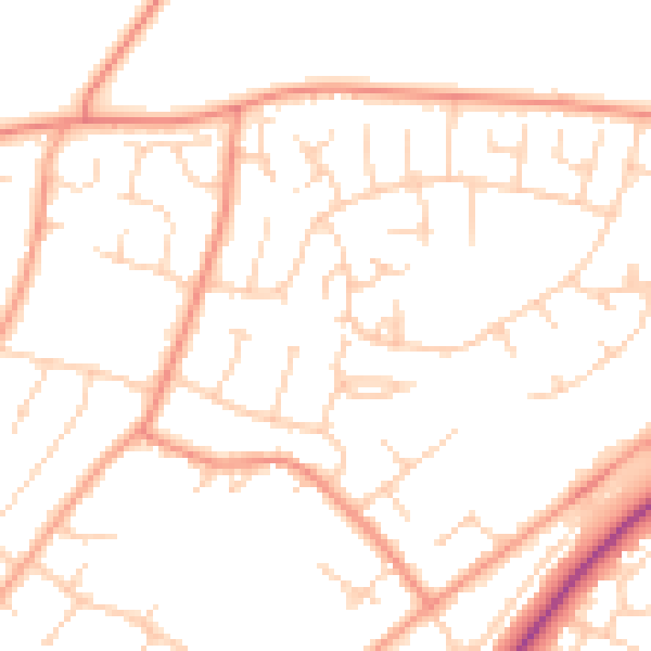
planning & flood
Sold prices
similar homes nearby
Trends
the local market
What this property has
Inside
- Bedrooms2
- Bathrooms1
Outside
- Private gardenRear
- ParkingAllocated
Building
- Underfloor heatingYes
- RefurbishedYes
Energy performance
EPC Rating
Planning history
13 Abbot Close has no planning applications on record.
The full report still covers planning activity across the surrounding area.
Sales history & valuation
13 Abbot Close has more than tripled in price since its earliest registered sale in 2001.
£215,000
Modelled from EPC, postcode comparables and a sale-price growth of 6.3% per year over 20 years.
£197,000
Growth on file: 6.3% per year over 20 years.
Sales timeline
16 September 2021Most recent
£197,000
+42.2%over 1 year28 February 2020
£138,500
-24.7%over 1 year31 October 2018
£184,000
+22.7%over 2 years2 June 2016
£150,000
+21.0%over 9 years8 June 2006
£123,950
+113.7%over 4 years23 August 2001
£58,000
Median price across the last 5 sales in NR18 0EG: £141,000 (2024–2019).
Nearby sales in NR18 0EG
Everything we know about 13 Abbot Close, in one report
What it's really worth, what could be wrong, and the planning, sales and area data in full.
- Am I paying too much?
- Is something wrong with it?
- Is the agent's story true?
- Will it hold its value?

Versus other Abbot Close homes
On epc rating, 13 Abbot Close stands well clear of the street.
Price per m²
£3,582
Street avg £2,662
Floor Area
55 m²
Street avg 51 m²
Habitable Rooms
3 rooms
Street avg 3 rooms
CO₂ Emissions
1.6 t/year
Street avg 2.3 t/year
Similar properties nearby
1 Bartram Close
NR18 0FU
1 Abbot Close
NR18 0EG
1 Ash Close
NR18 0HR
1 Applegarth Court
NR18 0BY
1 Back Lane
NR18 0QB
1 Blazey Drive
NR18 0UY
1 Amari House, Middleton Street
NR18 0GA
1 Aldwick Road
NR18 0JD
The neighbourhood at a glance
Crime
4/mo
Steady year-on-year across the wider district.
Nearest stop
1.4 km
Wymondham Abbey (Mid Norfolk Railway) — subway entrance.
Closest school
0.3 km
Robert Kett Primary School. 5 schools nearby.
Go deeper on the local area
The full report breaks down crime, transport links, schools and air quality in depth.
Road noise across the postcode
Daytime· 07:00 – 23:00
50.1dB
Night-time· 23:00 – 07:00
40.2dB