11 Cawdor Close, Attleborough, NR17 2SL
About 11 Cawdor Close
11 Cawdor Close is a mid-terrace house in Attleborough (NR17 2SL). It has a recorded floor area of 71 m² (around 764 sq ft), construction records dating it to 1991-1995 and council tax band B. The latest certificate (March 2019) shows a C (score 70). The recommended improvements would push it to B (score 87).
Last sale on file: £210,000 in October 2020. Across the public record there are 4 sales, relatively high churn for a single property. At 71 m² it's 18.3% larger than the typical home in the postcode (60 m² median across 11 EPCs). Across 2003–2020, sale prices on this property compounded at 3.3% per year. Today's modelled estimate of £235,000 is 11.9% above the 2020 sale price. On a £-per-square-foot basis, the last sale (£275/sq ft) was about 48.1% above the typical sold price in the postcode.
Everything you need to know about 11 Cawdor Close
The true value, the hidden risks and the full sale history, in one report.
30-day money-back guarantee

The data behind every report


Energy performance
EPC Rating
Planning history
11 Cawdor Close has no planning applications on record.
Notable planning nearby
1applications of note in the surrounding area
We flagged 1 thing worth checking at 11 Cawdor Close
Independent checks surfaced things a buyer would want to understand before offering. The report explains each one in full, with the underlying data and what to ask.
- Larger development activity nearby
30-day money-back guarantee
Sales history & valuation
The latest sale landed in the post-pandemic price surge — useful context when reading the figure.
£235,000
Modelled from EPC, postcode comparables and a sale-price growth of 3.3% per year over 17 years.
£210,000
Growth on file: 3.3% per year over 17 years.
Sales timeline
8 October 2020Most recent
£210,000
+6.6%over 2 years30 November 2017
£197,000
+33.6%over 7 years18 December 2009
£147,500
+23.0%over 6 years25 August 2003
£119,950
Median price across the last 5 sales in NR17 2SL: £187,000 (2025–2020).
Nearby sales in NR17 2SL
Versus other Cawdor Close homes
CO₂ Emissions for 11 Cawdor Close lags the street by a wide margin.
Price per m²
£2,958
Street avg £2,692
Floor Area
71 m²
Street avg 68 m²
Habitable Rooms
4 rooms
Street avg 4 rooms
CO₂ Emissions
2.7 t/year
Street avg 2.3 t/year
Everything you need to know about 11 Cawdor Close
The true value, the hidden risks and the full sale history, in one report.
30-day money-back guarantee
The data behind every report
Similar properties nearby
1 Bunwell Road, Besthorpe
NR17 2LL
1 Cherry Row, London Road
NR17 2BY
1 Briar Gardens
NR17 2GY
1 Beech Avenue
NR17 2ET
1 Christie Court, Queens Square
NR17 2AE
1 Arlington Gardens
NR17 2ND
1 Besthorpe Road
NR17 2AN
1 Birch Drive
NR17 2HF
The neighbourhood at a glance
Rail-style transport is unusually close for this postcode.
Crime
2/mo
Steady year-on-year across the wider district.
Nearest stop
0.8 km
Attleborough Rail Station — railway station.
Closest school
0.4 km
Attleborough Primary School. 3 schools nearby.
Go deeper on the local area
The full report breaks down crime, transport links, schools and air quality in depth.
Road noise across the postcode
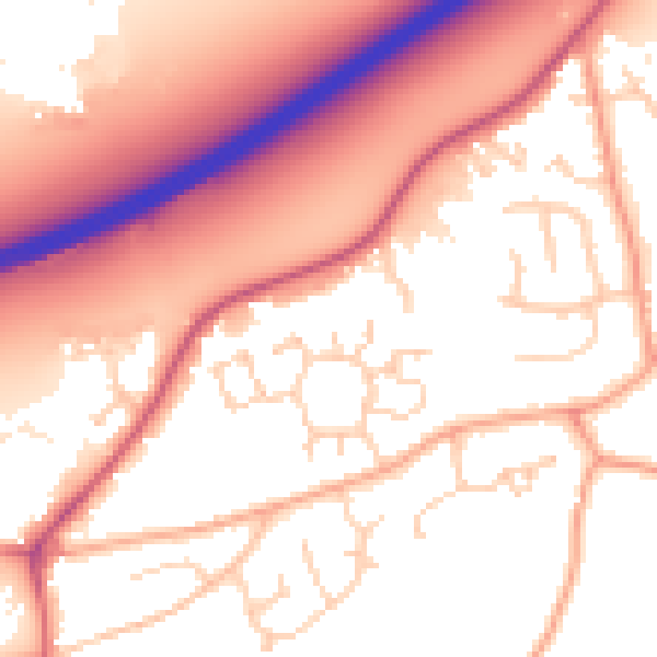
Daytime· 07:00 – 23:00
55.9dB

Night-time· 23:00 – 07:00
46.2dB