14 Bayfield, Attleborough, NR17 2RG
About 14 Bayfield
14 Bayfield is a four-bedroom detached house in Attleborough (NR17 2RG). It has a recorded floor area of 141 m² (around 1518 sq ft), construction records dating it to 2003-2006 and council tax band E. The latest certificate (June 2019) shows a C (score 71). The recommended improvements would push it to B (score 82). The home occupies a cul-de-sac position.
At 141 m² the property is well over the postcode median (78 m² across 10 EPCs), placing it in the larger end of the local stock. Across 2004–2022, sale prices on this property compounded at 2.6% per year. On a £-per-square-foot basis, the last sale (£262/sq ft) was about 63% above the typical sold price in the postcode. Last sale on file: £397,500 in September 2022. That sale was during the post-pandemic price surge, when transactions cleared materially above pre-2020 trend.
What this property has
Inside
- Bedrooms4
- Bathrooms2
- Dining roomYes
- Utility roomYes
- EnsuiteYes
- FireplaceYes
Outside
- Private gardenRear
- ParkingYes
- Cul-de-sacYes
Building
- Heating systemGas
Everything you need to know about 14 Bayfield
The true value, the hidden risks and the full sale history, in one report.
30-day money-back guarantee

The data behind every report


Energy performance
EPC Rating
Planning history
14 Bayfield has no planning applications on record.
Notable planning nearby
1applications of note in the surrounding area
We flagged 1 thing worth checking at 14 Bayfield
Independent checks surfaced things a buyer would want to understand before offering. The report explains each one in full, with the underlying data and what to ask.
- Larger development activity nearby
30-day money-back guarantee
Sales history & valuation
Latest sale on 14 Bayfield was the highest on Land Registry record across the postcode.
£406,000
Modelled from EPC, postcode comparables and a sale-price growth of 2.6% per year over 18 years.
£397,500
Growth on file: 2.6% per year over 18 years.
Sales timeline
8 September 2022Most recent
£397,500
+59.0%over 18 years15 June 2004
£250,000
Median price across the last 5 sales in NR17 2RG: £198,500 (2021–2017).
Nearby sales in NR17 2RG
Versus other Bayfield homes
On years held, 14 Bayfield runs well behind the street norm.
Price per m²
£2,819
Street avg £2,348
Floor Area
141 m²
Street avg 99 m²
Habitable Rooms
7 rooms
Street avg 5 rooms
CO₂ Emissions
3.8 t/year
Street avg 3.6 t/year
Everything you need to know about 14 Bayfield
The true value, the hidden risks and the full sale history, in one report.
30-day money-back guarantee
The data behind every report
Similar properties nearby
1 Balmoral Close
NR17 2SP
1 Circlet Place
NR17 2GT
1 Arlington Close
NR17 2NF
1 Bowling Green Close
NR17 2SA
1 Bayfield
NR17 2RG
1 Chestnut Drive
NR17 2FH
1 Cedar Drive
NR17 2EX
1 Albemarle Villas, London Road
NR17 2DD
The neighbourhood at a glance
Rail-style transport is unusually close for this postcode.
Crime
2/mo
Steady year-on-year across the wider district.
Nearest stop
0.8 km
Attleborough Rail Station — railway station.
Closest school
0.3 km
Attleborough Primary School. 3 schools nearby.
Go deeper on the local area
The full report breaks down crime, transport links, schools and air quality in depth.
Road noise across the postcode
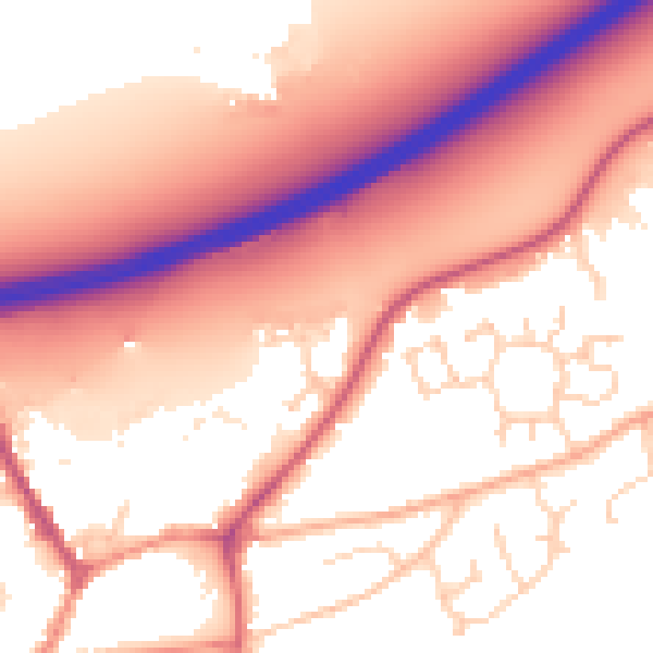
Daytime· 07:00 – 23:00
57.0dB

Night-time· 23:00 – 07:00
47.8dB