23 Barley Way, Attleborough, NR17 1YD
About 23 Barley Way
23 Barley Way is a detached house in Attleborough (NR17 1YD). It has a recorded floor area of 54 m² (around 581 sq ft), construction records dating it to 1976-1982 and council tax band B. The latest certificate (October 2012) shows a D (score 61), on the cusp of jumping into the C band. The recommended improvements would lift it to B (score 90), a 2-band jump. The latest certificate is from October 2012, so improvements made since then won't be reflected.
Held since April 2001 — that's 25 years off the open market, well above the local norm. Across 1998–2001, sale prices on this property compounded at 17% per year. Today's modelled estimate of £221,000 sits 179.9% above the 2001 sale of £78,950. On a £-per-square-foot basis, the last sale (£136/sq ft) was about 27.8% below the postcode norm.
Everything you need to know about 23 Barley Way
The true value, the hidden risks and the full sale history, in one report.
30-day money-back guarantee

The data behind every report


Energy performance
Recommended upgrades on file would lift this property by multiple EPC bands.
EPC Expired
This certificate is over 10 years old and is no longer valid.Expired 21 Oct 2022
EPC Rating
Planning history
23 Barley Way has no planning applications on record.
Notable planning nearby
5applications of note in the surrounding area
We flagged 1 thing worth checking at 23 Barley Way
Independent checks surfaced things a buyer would want to understand before offering. The report explains each one in full, with the underlying data and what to ask.
- Larger development activity nearby
30-day money-back guarantee
Sales history & valuation
23 Barley Way's modelled value sits at over four times its earliest registered sale price (1998).
£221,000
Modelled from EPC, postcode comparables and a sale-price growth of 17.0% per year over 3 years.
£78,950
Growth on file: 17.0% per year over 3 years.
Sales timeline
5 April 2001Most recent
£78,950
+66.2%over 3 years12 January 1998
£47,500
Median price across the last 5 sales in NR17 1YD: £225,000 (2025–2023).
Nearby sales in NR17 1YD
Versus other Barley Way homes
On years held, 23 Barley Way stands well clear of the street.
Price per m²
£1,462
Street avg £2,710
Floor Area
54 m²
Street avg 70 m²
Habitable Rooms
3 rooms
Street avg 4 rooms
CO₂ Emissions
2.9 t/year
Street avg 2.8 t/year
Everything you need to know about 23 Barley Way
The true value, the hidden risks and the full sale history, in one report.
30-day money-back guarantee
The data behind every report
Similar properties nearby
1 Burdock Way
NR17 1XS
1 Alexandra Way
NR17 1YW
1 Bungalow, Rectory Road, Rockland All Saints
NR17 1XB
1 Brick Kiln Barn Cottages, Little Ellingham
NR17 1JR
1 Campion Way
NR17 1QN
1 Attleborough Road, Old Buckenham
NR17 1RF
1 Abbey Road, Old Buckenham
NR17 1PU
1 Chapel Street, Rockland St Peter
NR17 1UJ
The neighbourhood at a glance
Daytime road noise here sits well below conversation level — a quiet pocket of the postcode.
Crime
2/mo
Steady year-on-year across the wider district.
Nearest stop
1.6 km
Attleborough Rail Station — railway station.
Closest school
0.3 km
Rosecroft Primary School. 3 schools nearby.
Go deeper on the local area
The full report breaks down crime, transport links, schools and air quality in depth.
Road noise across the postcode
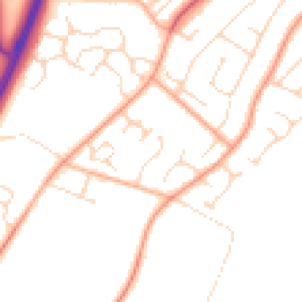
Daytime· 07:00 – 23:00
49.0dB

Night-time· 23:00 – 07:00
38.8dB