Foundry House, Buckenham Road, Attleborough, NR17 1NQ
About Foundry House
Foundry House is a detached house in Attleborough (NR17 1NQ). It has a recorded floor area of 121 m² (around 1302 sq ft), construction records dating it to 1983-1990 and council tax band C. The latest certificate (September 2013) shows a D (score 62), on the cusp of jumping into the C band. The recommended improvements would lift it to B (score 82), a 2-band jump. Main heating runs on oil. The latest certificate is from September 2013, so improvements made since then won't be reflected.
It hasn't traded since June 2006, a hold of 20 years that's notably long for the area. At 121 m² the property is well over the postcode median (80 m² across 21 EPCs), placing it in the larger end of the local stock. Across 2001–2006, sale prices on this property compounded at 11.5% per year. Today's modelled estimate of £355,000 sits 68.2% above the 2006 sale of £211,000. On a £-per-square-foot basis, the last sale (£162/sq ft) was about 27.7% below the postcode norm.
Everything you need to know about Foundry House
The true value, the hidden risks and the full sale history, in one report.
30-day money-back guarantee

The data behind every report


Energy performance
Foundry House's carbon output runs well above what efficient homes in the postcode produce.
EPC Expired
This certificate is over 10 years old and is no longer valid.Expired 16 Sept 2023
EPC Rating
Planning history
Foundry House has no planning applications on record.
Notable planning nearby
5applications of note in the surrounding area
We flagged 1 thing worth checking at Foundry House
Independent checks surfaced things a buyer would want to understand before offering. The report explains each one in full, with the underlying data and what to ask.
- Larger development activity nearby
30-day money-back guarantee
Sales history & valuation
Foundry House's estimated value is more than triple its earliest registered sale price (2001).
£355,000
Modelled from EPC, postcode comparables and a sale-price growth of 11.5% per year over 5 years.
£211,000
Growth on file: 11.5% per year over 5 years.
Sales timeline
15 June 2006Most recent
£211,000
+78.8%over 5 years16 February 2001
£118,000
Median price across the last 5 sales in NR17 1NQ: £345,000 (2024–2022).
Nearby sales in NR17 1NQ
Turpins, Buckenham Road, Attleborough, NR17 1NQ
Sold Nov 2024
£405,000Oak House, Flat 6, Buckenham Road, Attleborough, NR17 1NQ
Sold Oct 2023
£240,000Oak House, Flat 1, Buckenham Road, Attleborough, NR17 1NQ
Sold Sept 2023
£678,0001 Buckenham Road, Attleborough, NR17 1NQ
Sold Sept 2023
£345,000Westside, Buckenham Road, Attleborough, NR17 1NQ
Sold Nov 2022
£240,000
Versus other Buckenham Road homes
Years Held for Foundry House runs comfortably ahead of the street norm.
Price per m²
£1,744
Street avg £2,138
Floor Area
121 m²
Street avg 133 m²
Habitable Rooms
5 rooms
Street avg 6 rooms
CO₂ Emissions
6.1 t/year
Street avg 7.2 t/year
Everything you need to know about Foundry House
The true value, the hidden risks and the full sale history, in one report.
30-day money-back guarantee
The data behind every report
Similar properties nearby
1 Buckenham Road
NR17 1NQ
1 Blenheim Drive
NR17 1QZ
1 Bracken Drive
NR17 1TA
1 Bryony Way
NR17 1QL
1 Barrack Row, Little Ellingham
NR17 1JJ
1 Chequers Lane, Great Ellingham
NR17 1HR
1 Attleborough Road, Great Ellingham
NR17 1LF
1 Celandine Road
NR17 1XT
The neighbourhood at a glance
Daytime road noise here sits well below conversation level — a quiet pocket of the postcode.
Crime
2/mo
Steady year-on-year across the wider district.
Nearest stop
1.2 km
Attleborough Rail Station — railway station.
Closest school
1.6 km
Attleborough Primary School. 5 schools nearby.
Go deeper on the local area
The full report breaks down crime, transport links, schools and air quality in depth.
Road noise across the postcode
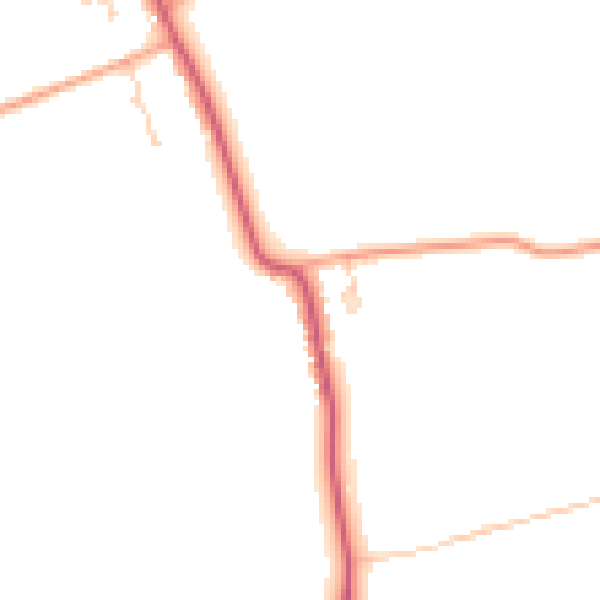
Daytime· 07:00 – 23:00
44.6dB
Night-time· 23:00 – 07:00
37.4dB