21 Far End, Northampton, NN5 5FN
About 21 Far End
21 Far End is a semi-detached house in Northampton (NN5 5FN). It has a recorded floor area of 57 m² (around 614 sq ft), construction records dating it to 2003-2006 and council tax band C. The latest certificate (February 2019) shows a C (score 78), near the top of the C band. Earlier certificates rated it B (October 2008); the latest reading is one band lower. Between certificates, hot-water efficiency dropped from Very Good to Good and main heating dropped from Very Good to Good. At 57 m² this is the 7th smallest of 73 units on EPC record in the building, where floor areas span 46–168 m². The building's EPC ratings span E to B across 73 units on file.
At 57 m² it's 23.1% smaller than the typical home in the postcode (74 m² median across 72 EPCs). Sold February 2022 for £155,000. That sale was during the post-pandemic price surge, when transactions cleared materially above pre-2020 trend.
Know exactly what you're buying at 21 Far End
Before you offer, see what the listing won't tell you, the true value, the red flags and the full history.
Already flagged here
Valuation
against the asking price
Risks
planning & flood
Sold prices
similar homes nearby
Trends
the local market
Energy performance
21 Far End's carbon output is low for the local stock.
EPC Rating
Property Improvements
Changes detected from historical EPC data
Hot water efficiency decreased
Loft insulation upgraded to recommended levels
Planning history
21 Far End has no planning applications on record.
Notable planning nearby
15applications of note in the surrounding area
We flagged 2 things worth checking at 21 Far End
Independent checks surfaced things a buyer would want to understand before offering. The report explains each one in full, with the underlying data and what to ask.
- Signs of HMO activity in the area
- Larger development activity nearby
30-day money-back guarantee
Sales history & valuation
21 Far End's sale-price growth has lagged the wider UK trajectory across its history on file.
£143,000
Modelled from EPC, postcode comparables.
£155,000
Recorded with HM Land Registry.
Sales timeline
2 February 2022Most recent
£155,000
30 November 2005
£155,000
Median price across the last 5 sales in NN5 5FN: £170,000 (2025–2024).
Everything we know about 21 Far End, in one report
What it's really worth, what could be wrong, and the planning, sales and area data in full.
What we flagged
- Signs of HMO activity in the area
- Larger development activity nearby

Versus other Far End homes
Years Held for 21 Far End lags the street by a wide margin.
Price per m²
£2,719
Street avg £2,370
Floor Area
57 m²
Street avg 59 m²
Habitable Rooms
3 rooms
Street avg 3 rooms
CO₂ Emissions
1.4 t/year
Street avg 1.6 t/year
Similar properties nearby
1 Caledonian House, Argyle Street
NN5 5JG
1 Devonshire House, Alma Street
NN5 5LY
1 First Lane
NN5 5FD
1 Far End
NN5 5FN
1 Eyeletter House, Greenwood Road
NN5 5EG
1 Lincoln House, Lincoln Road
NN5 5JS
1 Lapstone House, Byfield Road
NN5 5HF
1 Lincoln Road
NN5 5JS
The neighbourhood at a glance
Rail-style transport is unusually close for this postcode.
Crime
6/mo
Steady year-on-year across the wider district.
Nearest stop
0.3 km
Bingo Hall — bus stop.
Closest school
0.5 km
St James Church of England Primary School. 31 schools nearby.
Go deeper on the local area
The full report breaks down crime, transport links, schools and air quality in depth.
Road noise across the postcode
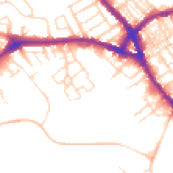
Daytime· 07:00 – 23:00
51.6dB

Night-time· 23:00 – 07:00
41.6dB