1 Bakers Lane, Weldon, Corby, NN17 3LR
About 1 Bakers Lane
A plain-English summary derived from public records, EPC certificates, sold prices and local data.
1 Bakers Lane is a five-bedroom detached house in Weldon, Corby, Corby (NN17 3LR). It has a recorded floor area of 220 m² (around 2368 sq ft), construction records dating it to 2003-2006 and council tax band G. The latest certificate (March 2015) shows a C (score 77), near the top of the C band. The rating has held steady at C across 2 certificates since March 2011. Between certificates, lighting dropped from Average to Very Poor. The recommended improvements would push it to B (score 84). The latest certificate is from March 2015, so improvements made since then won't be reflected.
At 220 m² the property is well over the postcode median (140 m² across 3 EPCs), placing it in the larger end of the local stock. Sale prices here have lagged England HPI: -0.4% per year against 0% for the wider region. Today's modelled estimate of £592,000 is 44.4% above the 2015 sale price. On a £-per-square-foot basis, the last sale (£173/sq ft) was about 16.1% below the postcode norm. On the market in July 2015 and unlisted since — roughly 11 years.
What this property has
Pulled from EPC certificates, claim submissions and our property model. Empty categories are hidden — we only show what's known.
Inside
- Bedrooms5
- Dining roomYes
- EnsuiteYes
- StudyYes
Energy performance
Every EPC certificate filed against this property — current rating, recorded improvements, and where there's headroom to reach a higher band.
1 Bakers Lane's EPC is over a decade old — improvements since won't be reflected.
EPC Expired
This certificate is over 10 years old and is no longer valid.Expired 10 Mar 2025
Planning history
Applications and permits filed against 1 Bakers Lane, Weldon, Corby, NN17 3LR, sourced from the PlanIt planning register.
No planning applications are recorded against 1 Bakers Lane, Weldon, Corby, NN17 3LR. The full report also covers planning activity across the surrounding area.
Full planning data for 1 Bakers Lane, Weldon, Corby, NN17 3LR
Every application and decision on this property and nearby, in full, in the report.
Sales history & valuation
Recorded transactions, our model's current estimate, and a quick read on what neighbouring properties have sold for.
Latest sale on 1 Bakers Lane was the highest on Land Registry record across the postcode.
Current estimate
See how we calculated this£592,000
Modelled from EPC, postcode comparables and a sale-price growth of -0.4% per year over 9 years.
Last sold (2015)
£410,000
Growth on file: -0.4% per year over 9 years.
Sales timeline
Launch offer · 33% off
The complete analysis of 1 Bakers Lane, Weldon, Corby, NN17 3LR
Everything we know about this property, compiled into one in-depth, downloadable report.
Detailed analysis
A written breakdown of everything that matters
Versus other Bakers Lane homes
Four headline reads against 3 similar houses on this street, drawn from the latest EPC and Land Registry data.
On price per m², 1 Bakers Lane runs well behind the street norm.
Price per m²
£1,864
Street avg £2,534
Floor Area
220 m²
Street avg 146 m²
Habitable Rooms
9 rooms
Similar properties nearby
A handful of close matches in the same postcode area, ranked by likeness on bedrooms, type and floor area.
The neighbourhood at a glance
A condensed read of the local area. Each tile links through to the full breakdown on the Corby district page.
Crime
4/mo
Steady year-on-year across the wider district.
Nearest stop
0.3 km
Church View — bus stop.
Road noise across the postcode
Modelled day and night-time noise levels around NN17 3LR from Defra's strategic mapping. The pin marks this postcode's centroid.
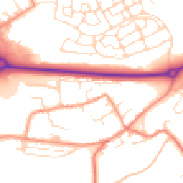
Daytime· 07:00 – 23:00
52.6dB

Everything within walking distance
Schools, transport stops and scenic spots near this property — 35 points of interest in total.
Common questions
The questions buyers, sellers and homeowners most often ask about 1 Bakers Lane, Weldon, Corby, NN17 3LR. Each answer is also embedded as structured data for search engines.
