1 Collingwood Avenue, Corby, NN17 2SA
1 planning record
About 1 Collingwood Avenue
A plain-English summary derived from public records, EPC certificates, sold prices and local data.
1 Collingwood Avenue is a four-bedroom semi-detached house in Corby (NN17 2SA). It has a recorded floor area of 112 m² (around 1206 sq ft), construction records dating it to 1950-1966 and council tax band B. The latest certificate (August 2022) shows a C (score 76), near the top of the C band. The recommended improvements would push it to B (score 85).
It hasn't traded since September 2003, a hold of 23 years that's notably long for the area. Today's modelled estimate of £285,000 sits 137% above the 2003 sale of £120,250. On a £-per-square-foot basis, the last sale (£100/sq ft) was about 32% below the postcode norm. One planning record on file: an extension approved in 2009. Past consents include an extension, meaningful when judging how the property has evolved.
What this property has
Pulled from EPC certificates, claim submissions and our property model. Empty categories are hidden — we only show what's known.
Inside
- Bedrooms4
- Bathrooms2
Energy performance
Every EPC certificate filed against this property — current rating, recorded improvements, and where there's headroom to reach a higher band.
EPC Rating
A
B
C
C76
D
E
F
G
Main Heating
Gas
Main Fuel
Gas
Hot Water
Good
Windows
Good
CO2 Emissions
3.1 t/year
Occupancy
Owner Occupied
Planning history
Applications and permits filed against 1 Collingwood Avenue, Corby, NN17 2SA, sourced from the PlanIt planning register.
Council records include a two-storey side extension at 1 Collingwood Avenue.
- Jan 2009ExtensionFullGranted
Extension: Two storey · Side of property
Two storey side extension
Sales history & valuation
Recorded transactions, our model's current estimate, and a quick read on what neighbouring properties have sold for.
1 Collingwood Avenue valuation sits well clear of the typical sold price in this postcode.
Current estimate
See how we calculated this£285,000
Modelled from EPC, postcode comparables.
Last sold (2003)
£120,250
Recorded with HM Land Registry.
Sales timeline
Launch offer · 33% off
The complete analysis of 1 Collingwood Avenue, Corby, NN17 2SA
Everything we know about this property, compiled into one in-depth, downloadable report.
Detailed analysis
A written breakdown of everything that matters
Versus other Collingwood Avenue homes
Four headline reads against 5 similar houses on this street, drawn from the latest EPC and Land Registry data.
1 Collingwood Avenue outperforms the street on epc rating by a wide margin.
Price per m²
£1,074
Street avg £1,346
Floor Area
112 m²
Street avg 102 m²
Habitable Rooms
6 rooms
Similar properties nearby
A handful of close matches in the same postcode area, ranked by likeness on bedrooms, type and floor area.
The neighbourhood at a glance
A condensed read of the local area. Each tile links through to the full breakdown on the Corby district page.
Crime
4/mo
Steady year-on-year across the wider district.
Nearest stop
0.3 km
Duncan Road — bus stop.
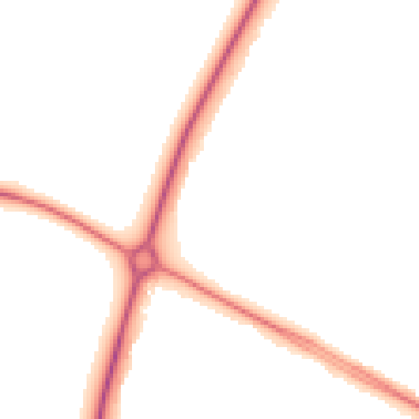
Road noise across the postcode
Modelled day and night-time noise levels around NN17 2SA from Defra's strategic mapping. The pin marks this postcode's centroid.
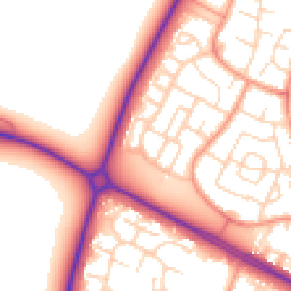
Daytime· 07:00 – 23:00
55.3dB
Everything within walking distance
Schools, transport stops and scenic spots near this property — 48 points of interest in total.
Common questions
The questions buyers, sellers and homeowners most often ask about 1 Collingwood Avenue, Corby, NN17 2SA. Each answer is also embedded as structured data for search engines.
