15 Parsons Grove, Corby, NN17 1DS
About 15 Parsons Grove
A plain-English summary derived from public records, EPC certificates, sold prices and local data.
15 Parsons Grove is a two-bedroom end-of-terrace house in Corby (NN17 1DS). It has a recorded floor area of 70 m² (around 753 sq ft), construction records dating it to 1930-1949 and council tax band A. The latest certificate (October 2014) shows an E (score 50), well below the UK norm with real room to improve. The rating has held steady at E across 2 certificates since July 2009. Between certificates, window efficiency dropped from Good to Average. The recommended improvements would lift it to B (score 86), a 3-band jump. The latest certificate is from October 2014, so improvements made since then won't be reflected.
Across 2006–2014, sale prices here grew 0.1% per year, broadly in step with England's 0% HPI growth. Today's modelled estimate of £153,000 sits 70% above the 2014 sale of £90,000. On a £-per-square-foot basis, the last sale (£119/sq ft) was about 19.5% above the typical sold price in the postcode. It lags the bulk of the postcode on energy efficiency (less efficient than 75% of similar EPCs). Last changed hands 12 years ago, in September 2014.
What this property has
Pulled from EPC certificates, claim submissions and our property model. Empty categories are hidden — we only show what's known.
Inside
- Bedrooms2
- Bathrooms1
Energy performance
Every EPC certificate filed against this property — current rating, recorded improvements, and where there's headroom to reach a higher band.
Recommended upgrades on file would lift this property by multiple EPC bands.
EPC Expired
This certificate is over 10 years old and is no longer valid.Expired 17 Oct 2024
Planning history
Applications and permits filed against 15 Parsons Grove, Corby, NN17 1DS, sourced from the PlanIt planning register.
No planning applications are recorded against 15 Parsons Grove, Corby, NN17 1DS. The full report also covers planning activity across the surrounding area.
Full planning data for 15 Parsons Grove, Corby, NN17 1DS
Every application and decision on this property and nearby, in full, in the report.
Sales history & valuation
Recorded transactions, our model's current estimate, and a quick read on what neighbouring properties have sold for.
15 Parsons Grove valuation sits well clear of the typical sold price in this postcode.
Current estimate
See how we calculated this£153,000
Modelled from EPC, postcode comparables and a sale-price growth of 0.1% per year over 8 years.
Last sold (2014)
£90,000
Growth on file: 0.1% per year over 8 years.
Sales timeline
Launch offer · 33% off
The complete analysis of 15 Parsons Grove, Corby, NN17 1DS
Everything we know about this property, compiled into one in-depth, downloadable report.
Detailed analysis
A written breakdown of everything that matters
Versus other Parsons Grove homes
Four headline reads against 8 similar houses on this street, drawn from the latest EPC and Land Registry data.
15 Parsons Grove is notably below the street on habitable rooms.
Price per m²
£1,286
Street avg £1,230
Floor Area
70 m²
Street avg 78 m²
Habitable Rooms
3 rooms
Street avg 4 rooms
Similar properties nearby
A handful of close matches in the same postcode area, ranked by likeness on bedrooms, type and floor area.
The neighbourhood at a glance
A condensed read of the local area. Each tile links through to the full breakdown on the Corby district page.
Daytime road noise here sits well below conversation level — a quiet pocket of the postcode.
Crime
4/mo
Steady year-on-year across the wider district.
Nearest stop
0.1 km
Road noise across the postcode
Modelled day and night-time noise levels around NN17 1DS from Defra's strategic mapping. The pin marks this postcode's centroid.
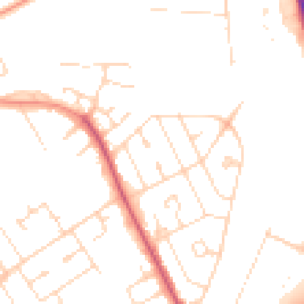
Daytime· 07:00 – 23:00
48.5dB

Everything within walking distance
Schools, transport stops and scenic spots near this property — 42 points of interest in total.
Common questions
The questions buyers, sellers and homeowners most often ask about 15 Parsons Grove, Corby, NN17 1DS. Each answer is also embedded as structured data for search engines.
