139 Stephenson Way, Corby, NN17 1DF
About 139 Stephenson Way
A plain-English summary derived from public records, EPC certificates, sold prices and local data.
139 Stephenson Way is a two-bedroom semi-detached house in Corby (NN17 1DF). It has a recorded floor area of 70 m² (around 753 sq ft), construction records dating it to 1930-1949 and council tax band A. The latest certificate (March 2022) shows an E (score 40), well below the UK norm with real room to improve. The recommended improvements would lift it to B (score 86), a 3-band jump.
It lags the bulk of the postcode on energy efficiency (less efficient than 88% of similar EPCs). Today's modelled estimate of £191,000 is 15.1% above the 2022 sale price. On a £-per-square-foot basis, the last sale (£220/sq ft) was about 77.3% above the typical sold price in the postcode. Most recent transfer: September 2022 at £166,000. That sale was during the post-pandemic price surge, when transactions cleared materially above pre-2020 trend.
What this property has
Pulled from EPC certificates, claim submissions and our property model. Empty categories are hidden — we only show what's known.
Inside
- Bedrooms2
- Bathrooms1
Energy performance
Every EPC certificate filed against this property — current rating, recorded improvements, and where there's headroom to reach a higher band.
139 Stephenson Way's carbon output runs well above what efficient homes in the postcode produce.
EPC Rating
A
B
C
D
E
E40
F
G
Main Heating
Gas
Main Fuel
Gas
Hot Water
Average
Windows
Average
CO2 Emissions
6.4 t/year
Occupancy
Owner Occupied
Planning history
Applications and permits filed against 139 Stephenson Way, Corby, NN17 1DF, sourced from the PlanIt planning register.
No planning applications are recorded against 139 Stephenson Way, Corby, NN17 1DF. The full report also covers planning activity across the surrounding area.
Full planning data for 139 Stephenson Way, Corby, NN17 1DF
Every application and decision on this property and nearby, in full, in the report.
Sales history & valuation
Recorded transactions, our model's current estimate, and a quick read on what neighbouring properties have sold for.
The latest sale landed in the post-pandemic price surge — useful context when reading the figure.
Current estimate
See how we calculated this£191,000
Modelled from EPC, postcode comparables.
Last sold (2022)
£166,000
Recorded with HM Land Registry.
Sales timeline
Launch offer · 33% off
The complete analysis of 139 Stephenson Way, Corby, NN17 1DF
Everything we know about this property, compiled into one in-depth, downloadable report.
Detailed analysis
A written breakdown of everything that matters
Versus other Stephenson Way homes
Four headline reads against 24 similar houses on this street, drawn from the latest EPC and Land Registry data.
On epc rating, 139 Stephenson Way runs well behind the street norm.
Price per m²
£2,371
Street avg £1,738
Floor Area
70 m²
Street avg 71 m²
Habitable Rooms
4 rooms
Similar properties nearby
A handful of close matches in the same postcode area, ranked by likeness on bedrooms, type and floor area.
The neighbourhood at a glance
A condensed read of the local area. Each tile links through to the full breakdown on the Corby district page.
Crime
4/mo
Steady year-on-year across the wider district.
Nearest stop
0.1 km
Whitworth Avenue — bus stop.
Road noise across the postcode
Modelled day and night-time noise levels around NN17 1DF from Defra's strategic mapping. The pin marks this postcode's centroid.
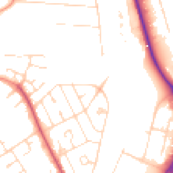
Daytime· 07:00 – 23:00
50.3dB

Everything within walking distance
Schools, transport stops and scenic spots near this property — 42 points of interest in total.
Common questions
The questions buyers, sellers and homeowners most often ask about 139 Stephenson Way, Corby, NN17 1DF. Each answer is also embedded as structured data for search engines.
