146 Stephenson Way, Corby, NN17 1DE
About 146 Stephenson Way
A plain-English summary derived from public records, EPC certificates, sold prices and local data.
146 Stephenson Way is a mid-terrace house in Corby (NN17 1DE). It has a recorded floor area of 65 m² (around 700 sq ft), construction records dating it to 1930-1949 and council tax band A. The latest certificate (March 2016) shows a D (score 67), on the cusp of jumping into the C band. The recommended improvements would lift it to B (score 90), a 2-band jump. The latest certificate is from March 2016, so improvements made since then won't be reflected.
Today's modelled estimate of £177,000 is 33.1% above the 2021 sale price. On a £-per-square-foot basis, the last sale (£190/sq ft) was about 76.7% above the typical sold price in the postcode. Sold January 2021 for £133,000. That sale was during the post-pandemic price surge, when transactions cleared materially above pre-2020 trend.
Energy performance
Every EPC certificate filed against this property — current rating, recorded improvements, and where there's headroom to reach a higher band.
Recommended upgrades on file would lift this property by multiple EPC bands.
EPC Expired
This certificate is over 10 years old and is no longer valid.Expired 24 Mar 2026
Planning history
Applications and permits filed against 146 Stephenson Way, Corby, NN17 1DE, sourced from the PlanIt planning register.
No planning applications are recorded against 146 Stephenson Way, Corby, NN17 1DE. The full report also covers planning activity across the surrounding area.
Full planning data for 146 Stephenson Way, Corby, NN17 1DE
Every application and decision on this property and nearby, in full, in the report.
Sales history & valuation
Recorded transactions, our model's current estimate, and a quick read on what neighbouring properties have sold for.
The latest sale landed in the post-pandemic price surge — useful context when reading the figure.
Current estimate
See how we calculated this£177,000
Modelled from EPC, postcode comparables.
Last sold (2021)
£133,000
Recorded with HM Land Registry.
Sales timeline
Launch offer · 33% off
The complete analysis of 146 Stephenson Way, Corby, NN17 1DE
Everything we know about this property, compiled into one in-depth, downloadable report.
Detailed analysis
A written breakdown of everything that matters
Versus other Stephenson Way homes
Four headline reads against 29 similar houses on this street, drawn from the latest EPC and Land Registry data.
CO₂ Emissions for 146 Stephenson Way runs comfortably ahead of the street norm.
Price per m²
£2,046
Street avg £1,733
Floor Area
65 m²
Street avg 68 m²
Habitable Rooms
4 rooms
Similar properties nearby
A handful of close matches in the same postcode area, ranked by likeness on bedrooms, type and floor area.
The neighbourhood at a glance
A condensed read of the local area. Each tile links through to the full breakdown on the Corby district page.
Crime
4/mo
Steady year-on-year across the wider district.
Nearest stop
0.1 km
Stephenson Way — bus stop.
Road noise across the postcode
Modelled day and night-time noise levels around NN17 1DE from Defra's strategic mapping. The pin marks this postcode's centroid.
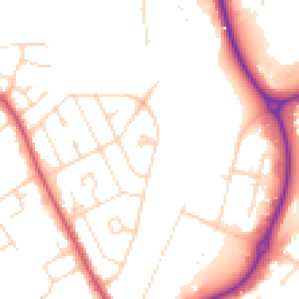
Daytime· 07:00 – 23:00
51.7dB

Everything within walking distance
Schools, transport stops and scenic spots near this property — 46 points of interest in total.
Common questions
The questions buyers, sellers and homeowners most often ask about 146 Stephenson Way, Corby, NN17 1DE. Each answer is also embedded as structured data for search engines.
