45 49, High Street, Kettering, NN16 8SU
About 45 49
45 49 is a property in Kettering (NN16 8SU).
4 planning records sit against the property, 2 approved, 2 refused. Most recent transfer: August 2022 at £2,115,200. That sale was during the post-pandemic price surge, when transactions cleared materially above pre-2020 trend.
Know exactly what you're buying at 45 49
Before you offer, see what the listing won't tell you, the true value, the red flags and the full history.
Already flagged here
Valuation
against the asking price
Risks
planning & flood
Sold prices
similar homes nearby
Trends
the local market
Energy performance
No EPC on record
This property doesn't have an Energy Performance Certificate yet. An EPC is required to sell or let — and unlocks our automated valuation.
Planning history
- Apr 2016AdvertisingIn report
2 no. internally illuminated fascia signs, 1 no. internally illuminated projecting sign, 2 no. non-illuminated wall mounted signs and 1 no. non-illuminated wall mounted directional sign
- Documents
- 8 docs on file
- Reference
- KET/2016/0135
- Dec 2009FullIn report
Installation of roof mounted condensing unit
- Documents
- 4 docs on file
- Reference
- KET/2009/0742
We flagged 2 things worth checking at 45 49
Independent checks surfaced things a buyer would want to understand before offering. The report explains each one in full, with the underlying data and what to ask.
- Signs of HMO activity in the area
- Larger development activity nearby
30-day money-back guarantee
Sales history & valuation
The latest sale landed in the post-pandemic price surge — useful context when reading the figure.
£2,115,200
Recorded with HM Land Registry.
Sales timeline
11 August 2022Most recent
£2,115,200
Everything we know about 45 49, in one report
What it's really worth, what could be wrong, and the planning, sales and area data in full.
What we flagged
- Signs of HMO activity in the area
- Larger development activity nearby

Similar properties nearby
The neighbourhood at a glance
Rail-style transport is unusually close for this postcode.
Crime
4/mo
Steady year-on-year across the wider district.
Nearest stop
0.1 km
The Royal Hotel — bus stop.
Closest school
0.7 km
St Thomas More Catholic Primary School. 19 schools nearby.
Go deeper on the local area
The full report breaks down crime, transport links, schools and air quality in depth.
Road noise across the postcode
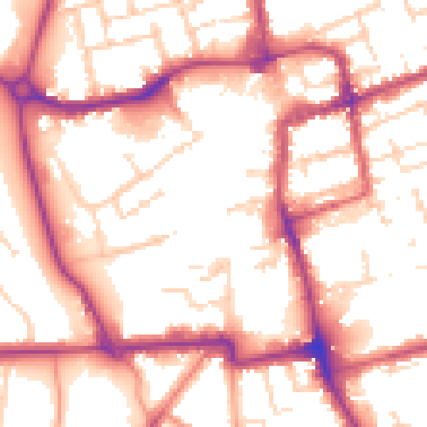
Daytime· 07:00 – 23:00
54.9dB

Night-time· 23:00 – 07:00
46.2dB