20 Coleridge Walk, Daventry, NN11 9AU
About 20 Coleridge Walk
20 Coleridge Walk is an end-of-terrace house in Daventry (NN11 9AU). It has a recorded floor area of 68 m² (around 732 sq ft), construction records dating it to 1950-1966 and council tax band A. The latest certificate (November 2015) returns a high B (score 87), putting the home a stone's throw from an A rating. The latest certificate is from November 2015, so improvements made since then won't be reflected.
Held since June 2006 — that's 20 years off the open market, well above the local norm. On energy efficiency it sits in the top 10% of properties in this postcode. Today's modelled estimate of £190,000 sits 75.9% above the 2006 sale of £108,000.
Know exactly what you're buying at 20 Coleridge Walk
Before you offer, see what the listing won't tell you, the true value, the red flags and the full history.
Valuation
against the asking price
Risks
planning & flood
Sold prices
similar homes nearby
Trends
the local market
Energy performance
20 Coleridge Walk ranks among the most efficient homes in the postcode for energy use.
EPC Expired
This certificate is over 10 years old and is no longer valid.Expired 17 Nov 2025
EPC Rating
Planning history
20 Coleridge Walk has no planning applications on record.
Notable planning nearby
2applications of note in the surrounding area
Sales history & valuation
20 Coleridge Walk valuation sits well clear of the typical sold price in this postcode.
£190,000
Modelled from EPC, postcode comparables.
£108,000
Recorded with HM Land Registry.
Sales timeline
8 June 2006Most recent
£108,000
Median price across the last 5 sales in NN11 9AU: £166,000 (2025–2021).
Nearby sales in NN11 9AU
Everything we know about 20 Coleridge Walk, in one report
What it's really worth, what could be wrong, and the planning, sales and area data in full.
- Am I paying too much?
- Is something wrong with it?
- Is the agent's story true?
- Will it hold its value?

Versus other Coleridge Walk homes
On epc rating, 20 Coleridge Walk stands well clear of the street.
Price per m²
£1,588
Street avg £1,568
Floor Area
68 m²
Street avg 81 m²
Habitable Rooms
4 rooms
Street avg 4 rooms
CO₂ Emissions
1.3 t/year
Street avg 3.0 t/year
Similar properties nearby
The neighbourhood at a glance
Crime
2/mo
Steady year-on-year across the wider district.
Nearest stop
0.1 km
Browning Close — bus stop.
Closest school
0.4 km
Falconer's Hill Academy. 11 schools nearby.
Go deeper on the local area
The full report breaks down crime, transport links, schools and air quality in depth.
Road noise across the postcode
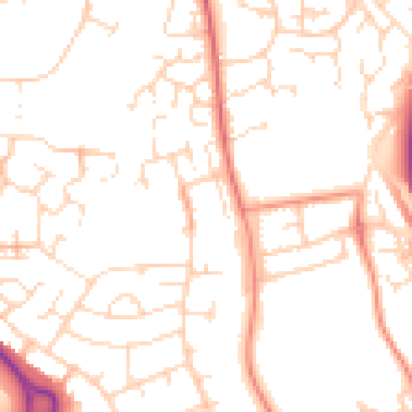
Daytime· 07:00 – 23:00
50.6dB

Night-time· 23:00 – 07:00
39.9dB