12 Brindley Quays, Braunston, Daventry, NN11 7AN
About 12 Brindley Quays
12 Brindley Quays is a property in Braunston, Daventry, Daventry (NN11 7AN). It has council tax band F.
Energy performance
No EPC on record
This property doesn't have an Energy Performance Certificate yet. An EPC is required to sell or let — and unlocks our automated valuation.
Planning history
No planning applications are recorded against 12 Brindley Quays, Braunston, Daventry, NN11 7AN. The full report also covers planning activity across the surrounding area.
Sales history & valuation
No sales recorded with HM Land Registry
That can mean the property has never traded since the registry began publishing in 1995, was a new build that hasn't been registered yet, or is held in the same hands long-term.
Median price across the last 5 sales in NN11 7AN: £350,000 (2024–2018).
Nearby sales in NN11 7AN
1 Brindley Quays, Braunston, Daventry, NN11 7AN
Sold Mar 2024
£400,00010 Brindley Quays, Braunston, Daventry, NN11 7AN
Sold Jul 2022
£430,00017 Brindley Quays, Braunston, Daventry, NN11 7AN
Sold Dec 2019
£350,00011 Brindley Quays, Braunston, Daventry, NN11 7AN
Sold Sept 2019
£342,50015 Brindley Quays, Braunston, Daventry, NN11 7AN
Sold May 2018
£337,500
Similar properties nearby
1 Archer Avenue, Braunston
NN11 7HD
1 Ashway, Braunston
NN11 7JX
1 Brindley Court, Braunston
NN11 7AL
1 Brindley Quays, Braunston
NN11 7AN
1 Chapel Court, High Street, Braunston
NN11 7HS
1 Countryside, Braunston
NN11 7JU
1 Cross Lane, Braunston
NN11 7HH
1 Danecourt, Church Road, Braunston
NN11 7HG
The neighbourhood at a glance
Daytime road noise here sits well below conversation level — a quiet pocket of the postcode.
Crime
2/mo
Steady year-on-year across the wider district.
Nearest stop
0.1 km
Brindley Quays — bus stop.
Closest school
0.7 km
Braunston Church of England Primary School. 1 school nearby.
Road noise across the postcode
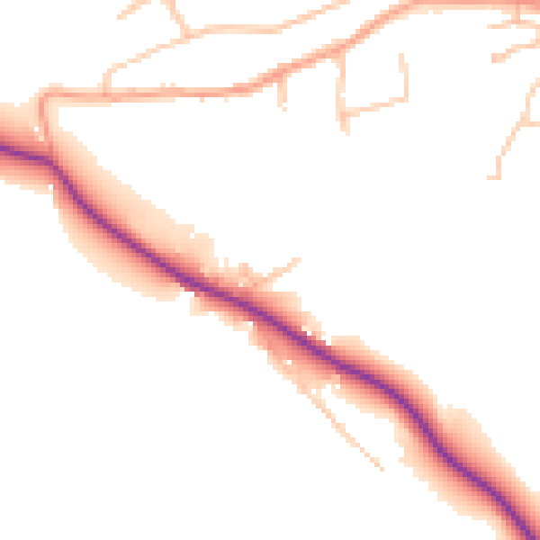
Daytime· 07:00 – 23:00
49.0dB

Night-time· 23:00 – 07:00
41.6dB