10 Dunstan Street, Netherfield, Nottingham, NG4 2PB
About 10 Dunstan Street
10 Dunstan Street is a two-bedroom end-of-terrace house in Netherfield, Nottingham, Nottingham (NG4 2PB). It has a recorded floor area of 86 m² (around 926 sq ft), construction records dating it to 1900-1929 and council tax band A. The latest certificate (November 2013) shows an F (score 37), near the bottom of the EPC scale. Earlier certificates rated it E (March 2009); the latest reading is one band lower. Between certificates, hot-water efficiency went from Average to Good; while lighting dropped from Very Good to Average. The recommended improvements would lift it to B (score 84), a 4-band jump. The latest certificate is from November 2013, so improvements made since then won't be reflected.
At 86 m² it's 28.4% larger than the typical home in the postcode (67 m² median across 28 EPCs). On energy efficiency it sits in the bottom 10% of properties in this postcode — significant headroom for improvement. Across 1999–2015, sale prices on this property compounded at 9.7% per year. Today's modelled estimate of £136,000 sits 78.9% above the 2015 sale of £76,000. 11 years since the last transfer (April 2015). Across the public record there are 5 sales, relatively high churn for a single property.
Know exactly what you're buying at 10 Dunstan Street
Before you offer, see what the listing won't tell you, the true value, the red flags and the full history.
Already flagged here
Valuation
against the asking price
Risks
planning & flood
Sold prices
similar homes nearby
Trends
the local market
What this property has
Inside
- Bedrooms2
- Open-plan layoutYes
- Dining roomYes
Outside
- Private gardenRear
Building
- Central heatingYes
Energy performance
10 Dunstan Street sits at the bottom of the postcode for energy efficiency — meaningful headroom to improve.
EPC Expired
This certificate is over 10 years old and is no longer valid.Expired 27 Nov 2023
EPC Rating
Property Improvements
Changes detected from historical EPC data
Hot water efficiency improved
Roof insulation improved
Low energy lighting percentage decreased
Planning history
10 Dunstan Street has no planning applications on record.
Notable planning nearby
9applications of note in the surrounding area
We flagged 2 things worth checking at 10 Dunstan Street
Independent checks surfaced things a buyer would want to understand before offering. The report explains each one in full, with the underlying data and what to ask.
- Signs of HMO activity in the area
- Environmental risk flagged
30-day money-back guarantee
Sales history & valuation
Price for 10 Dunstan Street has grown more than fourfold since the 1999 starting point.
£136,000
Modelled from EPC, postcode comparables and a sale-price growth of 9.7% per year over 16 years.
£76,000
Growth on file: 9.7% per year over 16 years.
Sales timeline
23 April 2015Most recent
£76,000
+14.3%over 3 years7 November 2011
£66,500
+10.9%over 7 years23 September 2004
£59,950
+87.3%over 4 years15 June 2000
£32,000
+88.2%over 1 year17 March 1999
£17,000
Median price across the last 5 sales in NG4 2PB: £105,000 (2024–2019).
Nearby sales in NG4 2PB
38 Dunstan Street, Netherfield, Nottingham, NG4 2PB
Sold Jun 2024
£105,0006 Dunstan Street, Netherfield, Nottingham, NG4 2PB
Sold Aug 2022
£127,00020 Dunstan Street, Netherfield, Nottingham, NG4 2PB
Sold Sept 2021
£113,00042 Dunstan Street, Netherfield, Nottingham, NG4 2PB
Sold Oct 2019
£95,00016 Dunstan Street, Netherfield, Nottingham, NG4 2PB
Sold Mar 2017
£80,000
Everything we know about 10 Dunstan Street, in one report
What it's really worth, what could be wrong, and the planning, sales and area data in full.
What we flagged
- Signs of HMO activity in the area
- Environmental risk flagged

Versus other Dunstan Street homes
On floor area, 10 Dunstan Street stands well clear of the street.
Price per m²
£884
Street avg £1,047
Floor Area
86 m²
Street avg 65 m²
Habitable Rooms
3 rooms
Street avg 4 rooms
CO₂ Emissions
6.9 t/year
Street avg 3.4 t/year
Similar properties nearby
1 Ambleside Way, Gedling
NG4 2QY
1 Carnarvon Street, Netherfield
NG4 2FL
1 Cooper Street, Netherfield
NG4 2HX
1 Brierley Green, Netherfield
NG4 2PP
1 Chandos Avenue, Netherfield
NG4 2NF
1 Cameo Close, Colwick
NG4 2BP
1 Clumber Avenue, Netherfield
NG4 2LX
1 Conisbrough Avenue, Gedling
NG4 2RE
The neighbourhood at a glance
Rail-style transport is unusually close for this postcode.
Crime
2/mo
Steady year-on-year across the wider district.
Nearest stop
0.1 km
Rochester Avenue — bus stop.
Closest school
0.4 km
Netherfield Primary School. 18 schools nearby.
Go deeper on the local area
The full report breaks down crime, transport links, schools and air quality in depth.
Road noise across the postcode
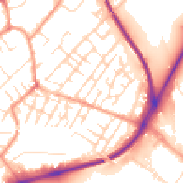
Daytime· 07:00 – 23:00
54.3dB

Night-time· 23:00 – 07:00
44.1dB