1 Fourth Avenue, Edwinstowe, Mansfield, NG21 9PG
About 1 Fourth Avenue
1 Fourth Avenue is a five-bedroom end-of-terrace house in Edwinstowe, Mansfield, Mansfield (NG21 9PG). It has a recorded floor area of 170 m² (around 1830 sq ft), construction records dating it to 1950-1966 and council tax band A. The latest certificate (October 2022) shows a D (score 64), on the cusp of jumping into the C band. The recommended improvements would push it to C (score 77). Our model identifies extension potential, subject to local planning policy.
At 170 m² the property is well over the postcode median (79 m² across 15 EPCs), placing it in the larger end of the local stock. 2 planning records sit against the property, 2 approved, 0 refused. Past consents include an extension, meaningful when judging how the property has evolved. Across 2010–2023, sale prices on this property compounded at 9.7% per year. On a £-per-square-foot basis, the last sale (£148/sq ft) was about 33.2% above the typical sold price in the postcode. Most recent transfer: September 2023 at £270,000.
Know exactly what you're buying at 1 Fourth Avenue
Before you offer, see what the listing won't tell you, the true value, the red flags and the full history.
Already flagged here
Valuation
against the asking price
Risks
planning & flood
Sold prices
similar homes nearby
Trends
the local market
What this property has
Inside
- Bedrooms5
- Bathrooms2
Building
- RefurbishedYes
- Extension potentialPossible
Energy performance
1 Fourth Avenue's carbon output runs well above what efficient homes in the postcode produce.
EPC Rating
Planning history
1 Fourth Avenue has 2 separate extension applications on the council record.
- Oct 2008ExtensionFullIn report
Amendment to application 06/01215/FUL for 2 storey extension.
- Documents
- 5 docs on file
- Reference
- 08/01850/FUL
- Oct 2006ExtensionFullIn report
Extension: Two storey · Side of property
Two storey lounge/bedroom extension to side elevation.
- Documents
- 9 docs on file
- Reference
- 06/01215/FUL
We flagged 1 thing worth checking at 1 Fourth Avenue
Independent checks surfaced things a buyer would want to understand before offering. The report explains each one in full, with the underlying data and what to ask.
- Larger development activity nearby
30-day money-back guarantee
Sales history & valuation
Latest sale on 1 Fourth Avenue was the highest on Land Registry record across the postcode.
£276,000
Modelled from EPC, postcode comparables and a sale-price growth of 9.7% per year over 13 years.
£270,000
Growth on file: 9.7% per year over 13 years.
Sales timeline
19 September 2023Most recent
£270,000
+237.5%over 13 years15 July 2010
£80,000
Median price across the last 5 sales in NG21 9PG: £143,000 (2024–2023).
Nearby sales in NG21 9PG
43 Fourth Avenue, Edwinstowe, Mansfield, NG21 9PG
Sold Jun 2024
£130,00049 Fourth Avenue, Edwinstowe, Mansfield, NG21 9PG
Sold Dec 2023
£143,00047 Fourth Avenue, Edwinstowe, Mansfield, NG21 9PG
Sold Oct 2023
£135,00017 Fourth Avenue, Edwinstowe, Mansfield, NG21 9PG
Sold May 2023
£163,00051 Fourth Avenue, Edwinstowe, Mansfield, NG21 9PG
Sold May 2023
£175,000
Everything we know about 1 Fourth Avenue, in one report
What it's really worth, what could be wrong, and the planning, sales and area data in full.
What we flagged
- Larger development activity nearby

Versus other Fourth Avenue homes
Floor Area for 1 Fourth Avenue runs comfortably ahead of the street norm.
Price per m²
£1,588
Street avg £1,485
Floor Area
170 m²
Street avg 82 m²
Habitable Rooms
9 rooms
Street avg 5 rooms
CO₂ Emissions
6.5 t/year
Street avg 3.7 t/year
Similar properties nearby
1 Bluebell Wood Lane, Clipstone Village
NG21 9GB
1 Brocklehurst Drive, Edwinstowe
NG21 9JW
1 Chaffinch Close, Clipstone Village
NG21 9GT
1 Boy Lane, Edwinstowe
NG21 9RA
1 Beech Avenue, Edwinstowe
NG21 9GR
1 Archway Grove, Kings Clipstone
NG21 9BY
1 Birkland Drive, Edwinstowe
NG21 9LU
1 Clay Cross Drive, Clipstone Village
NG21 9FJ
The neighbourhood at a glance
Daytime road noise here sits well below conversation level — a quiet pocket of the postcode.
Crime
5/mo
Steady year-on-year across the wider district.
Nearest stop
0.2 km
High Street — bus stop.
Closest school
0.5 km
King Edwin Primary and Nursery School. 3 schools nearby.
Go deeper on the local area
The full report breaks down crime, transport links, schools and air quality in depth.
Road noise across the postcode
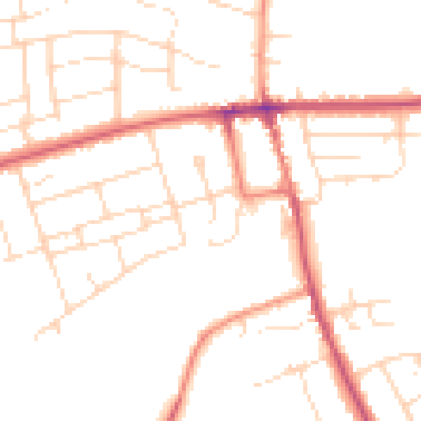
Daytime· 07:00 – 23:00
48.6dB

Night-time· 23:00 – 07:00
39.4dB