3a, Church Street, Kirkby In Ashfield, Nottingham, NG17 8LA
About 3a
3a is a detached house in Kirkby-In-Ashfield, Nottingham, Nottingham (NG17 8LA). It has a recorded floor area of 93 m² (around 1001 sq ft), construction records dating it to 1950-1966 and council tax band C. The latest certificate (October 2021) shows a D (score 57), a step below the typical UK home. The recommended improvements would push it to C (score 78).
Today's modelled estimate of £233,000 is 10.4% below the 2021 sale of £260,000, a rare downward gap that often correlates with deferred maintenance or unfinished works. On a £-per-square-foot basis, the last sale (£260/sq ft) was about 178.7% above the typical sold price in the postcode. Sold December 2021 for £260,000. That sale was during the post-pandemic price surge, when transactions cleared materially above pre-2020 trend. One historical planning record sits against the property in 2022.
Know exactly what you're buying at 3a
Before you offer, see what the listing won't tell you, the true value, the red flags and the full history.
Already flagged here
Valuation
against the asking price
Risks
planning & flood
Sold prices
similar homes nearby
Trends
the local market
Energy performance
EPC Rating
Planning history
Planning history includes recorded demolition works, indicating a major rebuild phase at this address.
- Mar 2022DemolitionFullIn report
Extension: Single storey · Rear of property
Demolition of existing single storey rear extension and construction of new single storey rear extension
Extension- Documents
- 16 docs on file
- Reference
- V/2022/0062
We flagged 1 thing worth checking at 3a
Independent checks surfaced things a buyer would want to understand before offering. The report explains each one in full, with the underlying data and what to ask.
- Larger development activity nearby
30-day money-back guarantee
Sales history & valuation
The latest sale landed in the post-pandemic price surge — useful context when reading the figure.
£233,000
Modelled from EPC, postcode comparables.
£260,000
Recorded with HM Land Registry.
Sales timeline
1 December 2021Most recent
£260,000
Median price across the last 5 sales in NG17 8LA: £238,000 (2022–2017).
Nearby sales in NG17 8LA
Hockley Place, Church Street, Kirkby In Ashfield, Nottingham, NG17 8LA
Sold Feb 2022
£330,00019 Church Street, Kirkby In Ashfield, Nottingham, NG17 8LA
Sold Nov 2020
£265,00023 Church Street, Kirkby In Ashfield, Nottingham, NG17 8LA
Sold Dec 2017
£114,99527a, Church Street, Kirkby In Ashfield, Nottingham, NG17 8LA
Sold Nov 2017
£99,0001 Church Street, Kirkby In Ashfield, Nottingham, NG17 8LA
Sold Oct 2017
£238,000
Everything we know about 3a, in one report
What it's really worth, what could be wrong, and the planning, sales and area data in full.
What we flagged
- Larger development activity nearby

Versus other Church Street homes
On price per m², 3a stands well clear of the street.
Price per m²
£2,796
Street avg £1,294
Floor Area
93 m²
Street avg 106 m²
Habitable Rooms
5 rooms
Street avg 5 rooms
CO₂ Emissions
5.2 t/year
Street avg 7.0 t/year
Similar properties nearby
1 Buckingham Close, Kirkby In Ashfield
NG17 8ET
1 Bellamy Drive, Kirkby In Ashfield
NG17 8SL
1 Adams Park Way, Kirkby In Ashfield
NG17 8SS
1 Birkdale Drive, Kirkby In Ashfield
NG17 8PP
1 Birch Tree Crescent, Kirkby In Ashfield
NG17 8BE
1 Bingley Crescent, Kirkby In Ashfield
NG17 8SH
1 Austen Grove, Kirkby In Ashfield
NG17 8RX
1 Bluebell Grove, Kirkby In Ashfield
NG17 8PD
The neighbourhood at a glance
Daytime road noise here sits well below conversation level — a quiet pocket of the postcode.
Crime
5/mo
Steady year-on-year across the wider district.
Nearest stop
0.1 km
Duke of Wellington — bus stop.
Closest school
0.2 km
Orchard Primary School and Nursery. 14 schools nearby.
Go deeper on the local area
The full report breaks down crime, transport links, schools and air quality in depth.
Road noise across the postcode
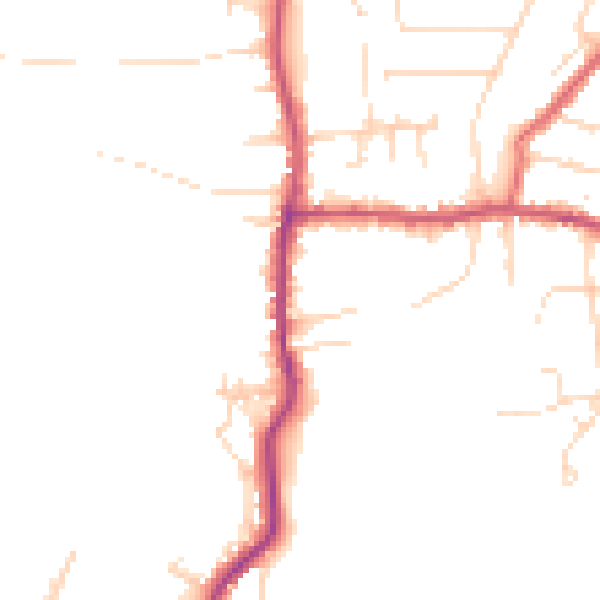
Daytime· 07:00 – 23:00
46.5dB
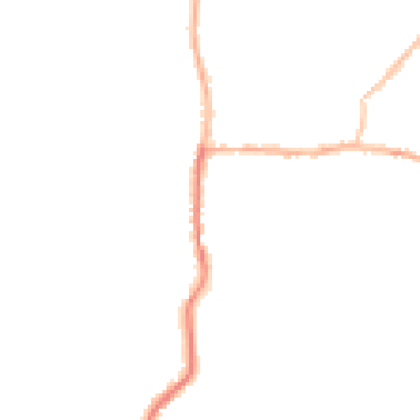
Night-time· 23:00 – 07:00
38.9dB