15 Ashwood Avenue, Kirkby In Ashfield, Nottingham, NG17 7QA
About 15 Ashwood Avenue
15 Ashwood Avenue is a three-bedroom end-of-terrace house in Kirkby-In-Ashfield, Nottingham, Nottingham (NG17 7QA). It has a recorded floor area of 96 m² (around 1033 sq ft), construction records dating it to 1950-1966 and council tax band A. The latest certificate (August 2020) shows a C (score 69), just inside the C band. When first surveyed in November 2008 the rating was E, the property has climbed 2 bands since. Between certificates, wall efficiency went from Very Poor to Average, roof efficiency went from Average to Good and window efficiency went from Very Poor to Average. The recommended improvements would push it to B (score 83).
Untraded for 19 years, with the last transfer in August 2007. That sale landed at the peak of the pre-credit-crunch market, which is a useful reference point when interpreting the price. Across 2005–2007, sale prices on this property compounded at -2.4% per year. Today's modelled estimate of £149,000 sits 96.8% above the 2007 sale of £75,718. On a £-per-square-foot basis, the last sale (£73/sq ft) was about 25.1% below the postcode norm.
Know exactly what you're buying at 15 Ashwood Avenue
Before you offer, see what the listing won't tell you, the true value, the red flags and the full history.
Already flagged here
Valuation
against the asking price
Risks
planning & flood
Sold prices
similar homes nearby
Trends
the local market
What this property has
Inside
- Bedrooms3
Energy performance
EPC Rating
Property Improvements
Changes detected from historical EPC data
Hot water efficiency improved
Single glazing replaced with double or better glazing
Wall insulation improved
Wall insulation improved
Loft insulation upgraded to recommended levels
More low energy lighting installed
Planning history
15 Ashwood Avenue has no planning applications on record.
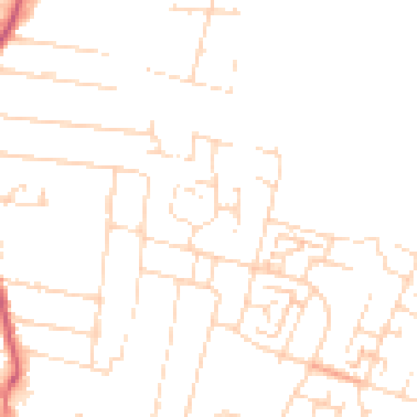
Notable planning nearby
7applications of note in the surrounding area
We flagged 1 thing worth checking at 15 Ashwood Avenue
Independent checks surfaced things a buyer would want to understand before offering. The report explains each one in full, with the underlying data and what to ask.
- Larger development activity nearby
30-day money-back guarantee
Sales history & valuation
The latest sale landed at the peak of the pre-credit-crunch market — a high-water reference point.
£149,000
Modelled from EPC, postcode comparables and a sale-price growth of -2.4% per year over 2 years.
£75,718
Growth on file: -2.4% per year over 2 years.
Sales timeline
15 August 2007Most recent
£75,718
-5.4%over 2 years25 April 2005
£80,000
Median price across the last 5 sales in NG17 7QA: £92,000 (2025–2019).
Nearby sales in NG17 7QA
37 Ashwood Avenue, Kirkby In Ashfield, Nottingham, NG17 7QA
Sold Jul 2025
£110,00020 Ashwood Avenue, Kirkby In Ashfield, Nottingham, NG17 7QA
Sold Feb 2024
£101,50041 Ashwood Avenue, Kirkby In Ashfield, Nottingham, NG17 7QA
Sold Jan 2023
£92,00031 Ashwood Avenue, Kirkby In Ashfield, Nottingham, NG17 7QA
Sold Aug 2019
£89,00039 Ashwood Avenue, Kirkby In Ashfield, Nottingham, NG17 7QA
Sold Dec 2017
£61,875
Everything we know about 15 Ashwood Avenue, in one report
What it's really worth, what could be wrong, and the planning, sales and area data in full.
What we flagged
- Larger development activity nearby

Versus other Ashwood Avenue homes
15 Ashwood Avenue outperforms the street on floor area by a wide margin.
Price per m²
£789
Street avg £976
Floor Area
96 m²
Street avg 82 m²
Habitable Rooms
5 rooms
Street avg 4 rooms
CO₂ Emissions
3.8 t/year
Street avg 3.0 t/year
Similar properties nearby
1 Alexandra Street, Kirkby In Ashfield
NG17 7JL
1 Edward Street, Kirkby In Ashfield
NG17 7JQ
1 Abbey Road, Kirkby In Ashfield
NG17 7NH
1 Blossom Court, Kirkby In Ashfield
NG17 7BL
1 Ascot Close, Kirkby In Ashfield
NG17 7FG
1 Carisbrooke Close, Kirkby In Ashfield
NG17 7RH
1 Balfour Street, Kirkby In Ashfield
NG17 7EA
1 David Street, Kirkby In Ashfield
NG17 7JX
The neighbourhood at a glance
Daytime road noise here sits well below conversation level — a quiet pocket of the postcode.
Crime
5/mo
Steady year-on-year across the wider district.
Nearest stop
0.1 km
Hazel Grove — bus stop.
Closest school
0.5 km
Abbey Hill Primary & Nursery. 14 schools nearby.
Go deeper on the local area
The full report breaks down crime, transport links, schools and air quality in depth.
Road noise across the postcode
Daytime· 07:00 – 23:00
46.8dB

Night-time· 23:00 – 07:00
37.0dB