1 Maltings Close, Skegby, Sutton In Ashfield, NG17 3LJ
About 1 Maltings Close
1 Maltings Close is a detached house in Skegby, Sutton-In-Ashfield, Sutton In Ashfield (NG17 3LJ). It has a recorded floor area of 73 m² (around 786 sq ft) and council tax band C. The latest certificate (June 2012) returns a B (score 81), comfortably above the UK average. The latest certificate is from June 2012, so improvements made since then won't be reflected.
14 years since the last transfer (May 2012). Today's modelled estimate of £252,000 is 40% above the 2012 sale price.
Know exactly what you're buying at 1 Maltings Close
Before you offer, see what the listing won't tell you, the true value, the red flags and the full history.
Already flagged here
Valuation
against the asking price
Risks
planning & flood
Sold prices
similar homes nearby
Trends
the local market
Energy performance
1 Maltings Close's carbon output is low for the local stock.
EPC Expired
This certificate is over 10 years old and is no longer valid.Expired 06 Jun 2022
EPC Rating
Planning history
1 Maltings Close has no planning applications on record.
Notable planning nearby
7applications of note in the surrounding area
We flagged 1 thing worth checking at 1 Maltings Close
Independent checks surfaced things a buyer would want to understand before offering. The report explains each one in full, with the underlying data and what to ask.
- Larger development activity nearby
30-day money-back guarantee
Sales history & valuation
£252,000
Modelled from EPC, postcode comparables.
£179,950
Recorded with HM Land Registry.
Sales timeline
24 May 2012Most recent
£179,950
Median price across the last 4 sales in NG17 3LJ: £196,450 (2024–2012).
Everything we know about 1 Maltings Close, in one report
What it's really worth, what could be wrong, and the planning, sales and area data in full.
What we flagged
- Larger development activity nearby

Versus other Maltings Close homes
On floor area, 1 Maltings Close runs well behind the street norm.
Price per m²
£2,465
Street avg £2,891
Floor Area
73 m²
Street avg 79 m²
CO₂ Emissions
1.4 t/year
Street avg 1.7 t/year
Years Held
14 years
Street avg 10 years
Similar properties nearby
1 Bingham Avenue
NG17 3AR
1 Buttery Lane
NG17 3DZ
1 Courtfield Road
NG17 3AT
1 Cowslip Close
NG17 3LY
1 Birchwood Close
NG17 3EZ
1 Church View, Stanton Hill
NG17 3HW
1 Barker Avenue
NG17 3FP
1 Cottonwood Road, Stanton Hill
NG17 3LR
The neighbourhood at a glance
Crime
5/mo
Steady year-on-year across the wider district.
Nearest stop
0.1 km
Greensfields — bus stop.
Closest school
0.4 km
St Andrew's CofE Primary and Nursery School. 18 schools nearby.
Go deeper on the local area
The full report breaks down crime, transport links, schools and air quality in depth.
Road noise across the postcode
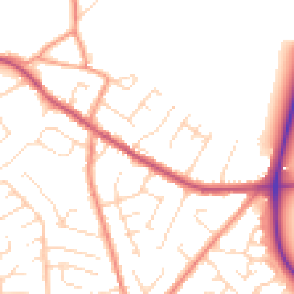
Daytime· 07:00 – 23:00
50.8dB

Night-time· 23:00 – 07:00
40.8dB