226 Mansfield Road, Skegby, Sutton In Ashfield, NG17 3DW
About 226 Mansfield Road
226 Mansfield Road is a two-bedroom detached house in Skegby, Sutton-In-Ashfield, Sutton In Ashfield (NG17 3DW). It has a recorded floor area of 121 m² (around 1302 sq ft), construction records dating it to 1950-1966 and council tax band A. The latest certificate (May 2014) shows a D (score 64), on the cusp of jumping into the C band. When first surveyed in February 2009 the rating was E, the property has climbed 1 band since. Between certificates, hot-water efficiency went from Average to Good; while lighting dropped from Average to Very Poor. The recommended improvements would lift it to B (score 81), a 2-band jump. The latest certificate is from May 2014, so improvements made since then won't be reflected.
At 121 m² the property is well over the postcode median (90 m² across 26 EPCs), placing it in the larger end of the local stock. Across 2006–2018, sale prices on this property compounded at 1.4% per year. Today's modelled estimate of £161,000 sits 73.1% above the 2018 sale of £93,000. On a £-per-square-foot basis, the last sale (£71/sq ft) was about 21.2% below the postcode norm. Most recent transfer: September 2018 at £93,000.
Know exactly what you're buying at 226 Mansfield Road
Before you offer, see what the listing won't tell you, the true value, the red flags and the full history.
Already flagged here
Valuation
against the asking price
Risks
planning & flood
Sold prices
similar homes nearby
Trends
the local market
What this property has
Inside
- Bedrooms2
- Bathrooms1
- Dining roomYes
Outside
- Private gardenRear
- GarageYes
Energy performance
Recommended upgrades on file would lift this property by multiple EPC bands.
EPC Expired
This certificate is over 10 years old and is no longer valid.Expired 03 May 2024
EPC Rating
Property Improvements
Changes detected from historical EPC data
Heating controls upgraded for better temperature management
Hot water system upgraded
Low energy lighting percentage decreased
Planning history
226 Mansfield Road has no planning applications on record.
Notable planning nearby
7applications of note in the surrounding area
We flagged 1 thing worth checking at 226 Mansfield Road
Independent checks surfaced things a buyer would want to understand before offering. The report explains each one in full, with the underlying data and what to ask.
- Larger development activity nearby
30-day money-back guarantee
Sales history & valuation
226 Mansfield Road's sale-price growth has lagged the wider UK trajectory across its history on file.
£161,000
Modelled from EPC, postcode comparables and a sale-price growth of 1.4% per year over 12 years.
£93,000
Growth on file: 1.4% per year over 12 years.
Sales timeline
9 September 2018Most recent
£93,000
+22.4%over 9 years24 June 2009
£76,000
-3.7%over 2 years27 July 2006
£78,950
Median price across the last 5 sales in NG17 3DW: £132,500 (2025–2022).
Nearby sales in NG17 3DW
214 Mansfield Road, Skegby, Sutton In Ashfield, NG17 3DW
Sold Jun 2025
£336,000234 Mansfield Road, Skegby, Sutton In Ashfield, NG17 3DW
Sold May 2025
£133,000228 Mansfield Road, Skegby, Sutton In Ashfield, NG17 3DW
Sold Jul 2024
£132,500232 Mansfield Road, Skegby, Sutton In Ashfield, NG17 3DW
Sold Mar 2023
£100,000248 Mansfield Road, Skegby, Sutton In Ashfield, NG17 3DW
Sold Jun 2021
£120,000
Everything we know about 226 Mansfield Road, in one report
What it's really worth, what could be wrong, and the planning, sales and area data in full.
What we flagged
- Larger development activity nearby

Versus other Mansfield Road homes
On price per m², 226 Mansfield Road runs well behind the street norm.
Price per m²
£769
Street avg £1,345
Floor Area
121 m²
Street avg 103 m²
Habitable Rooms
4 rooms
Street avg 5 rooms
CO₂ Emissions
4.9 t/year
Street avg 4.9 t/year
Similar properties nearby
1 Beechwood Grove
NG17 3FU
1 Church View, Stanton Hill
NG17 3HW
1 Birchwood Close
NG17 3EZ
1 Ashfield Street
NG17 3BE
1 Courtfield Road
NG17 3AT
1 Cottage Close, Stanton Hill
NG17 3JT
1 Clumber Crescent, Stanton Hill
NG17 3GX
1 Barker Avenue
NG17 3FP
The neighbourhood at a glance
Daytime road noise here sits well below conversation level — a quiet pocket of the postcode.
Crime
5/mo
Steady year-on-year across the wider district.
Nearest stop
0.2 km
Pleasley Road — bus stop.
Closest school
0.0 km
St Andrew's CofE Primary and Nursery School. 16 schools nearby.
Go deeper on the local area
The full report breaks down crime, transport links, schools and air quality in depth.
Road noise across the postcode
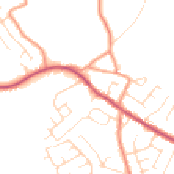
Daytime· 07:00 – 23:00
48.2dB

Night-time· 23:00 – 07:00
38.6dB