21 Stanton Crescent, Sutton In Ashfield, NG17 2FW
About 21 Stanton Crescent
21 Stanton Crescent is a four-bedroom semi-detached house in Sutton In Ashfield (NG17 2FW). It has a recorded floor area of 107 m² (around 1152 sq ft), construction records dating it to 1950-1966 and council tax band A. The latest certificate (October 2014) shows a D (score 64), on the cusp of jumping into the C band. The recommended improvements would lift it to B (score 83), a 2-band jump. The latest certificate is from October 2014, so improvements made since then won't be reflected. Period features are noted in the property record.
At 107 m² it's 23% larger than the typical home in the postcode (87 m² median across 43 EPCs). Across 2016–2022, sale prices on this property compounded at 7.1% per year. Today's modelled estimate of £220,000 is 15.8% above the 2022 sale price. On a £-per-square-foot basis, the last sale (£165/sq ft) was about 75% above the typical sold price in the postcode. Last sale on file: £190,000 in September 2022. That sale was during the post-pandemic price surge, when transactions cleared materially above pre-2020 trend.
Know exactly what you're buying at 21 Stanton Crescent
Before you offer, see what the listing won't tell you, the true value, the red flags and the full history.
Already flagged here
Valuation
against the asking price
Risks
planning & flood
Sold prices
similar homes nearby
Trends
the local market
What this property has
Inside
- Bedrooms4
- Bathrooms2
- Open-plan layoutYes
- Dining roomYes
- CloakroomYes
Outside
- Private gardenFront and rear
- DrivewayYes
Building
- Period featuresYes
Energy performance
Recommended upgrades on file would lift this property by multiple EPC bands.
EPC Expired
This certificate is over 10 years old and is no longer valid.Expired 13 Oct 2024
EPC Rating
Planning history
21 Stanton Crescent has no planning applications on record.
Notable planning nearby
4applications of note in the surrounding area
We flagged 1 thing worth checking at 21 Stanton Crescent
Independent checks surfaced things a buyer would want to understand before offering. The report explains each one in full, with the underlying data and what to ask.
- Larger development activity nearby
30-day money-back guarantee
Sales history & valuation
The latest sale landed in the post-pandemic price surge — useful context when reading the figure.
£220,000
Modelled from EPC, postcode comparables and a sale-price growth of 7.1% per year over 6 years.
£190,000
Growth on file: 7.1% per year over 6 years.
Sales timeline
15 September 2022Most recent
£190,000
+50.2%over 5 years2 October 2016
£126,500
Median price across the last 5 sales in NG17 2FW: £165,000 (2024–2022).
Nearby sales in NG17 2FW
19 Stanton Crescent, Sutton In Ashfield, NG17 2FW
Sold Nov 2024
£195,00053 Stanton Crescent, Sutton In Ashfield, NG17 2FW
Sold Sept 2024
£165,00020 Stanton Crescent, Sutton In Ashfield, NG17 2FW
Sold Mar 2023
£155,00011 Stanton Crescent, Sutton In Ashfield, NG17 2FW
Sold Oct 2022
£165,00048 Stanton Crescent, Sutton In Ashfield, NG17 2FW
Sold Oct 2022
£150,000
Everything we know about 21 Stanton Crescent, in one report
What it's really worth, what could be wrong, and the planning, sales and area data in full.
What we flagged
- Larger development activity nearby

Versus other Stanton Crescent homes
Habitable Rooms for 21 Stanton Crescent runs comfortably ahead of the street norm.
Price per m²
£1,776
Street avg £1,257
Floor Area
107 m²
Street avg 90 m²
Habitable Rooms
6 rooms
Street avg 5 rooms
CO₂ Emissions
4.4 t/year
Street avg 3.3 t/year
Similar properties nearby
1 All Saints Court, Huthwaite
NG17 2SP
1 Ashleigh Avenue
NG17 2ST
1 Calke Avenue, Huthwaite
NG17 2SF
1 Blenheim Place, Huthwaite
NG17 2RD
1 Burton Close
NG17 2EW
1 Ashlands Close
NG17 2GL
1 Caton Close
NG17 2EQ
1 Ashfield Road, Huthwaite
NG17 2NX
The neighbourhood at a glance
Daytime road noise here sits well below conversation level — a quiet pocket of the postcode.
Crime
5/mo
Steady year-on-year across the wider district.
Nearest stop
0.1 km
Northwood Avenue — bus stop.
Closest school
0.5 km
Brierley Forest Primary and Nursery School. 17 schools nearby.
Go deeper on the local area
The full report breaks down crime, transport links, schools and air quality in depth.
Road noise across the postcode
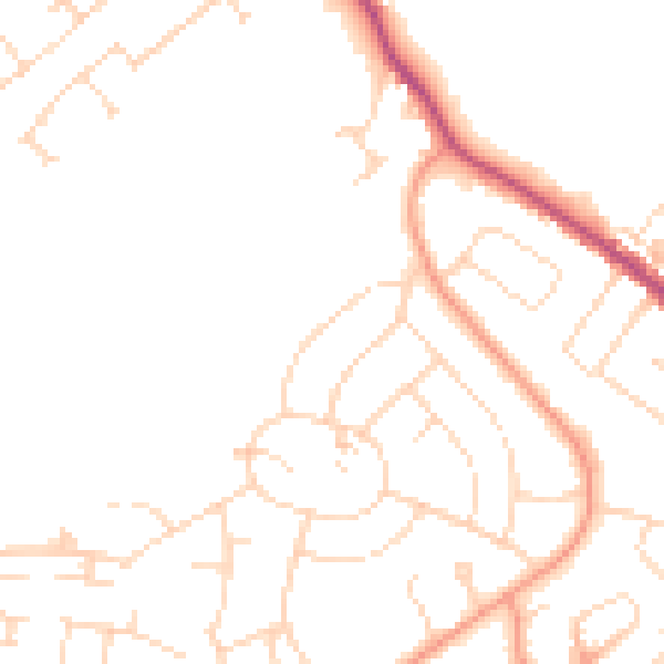
Daytime· 07:00 – 23:00
47.1dB

Night-time· 23:00 – 07:00
37.8dB