18 Bridge End Avenue, Selston, Nottingham, NG16 6BE
About 18 Bridge End Avenue
18 Bridge End Avenue is a two-bedroom semi-detached house in Selston, Nottingham, Nottingham (NG16 6BE). It has a recorded floor area of 53 m² (around 570 sq ft), construction records dating it to 1967-1975 and council tax band B. The latest certificate (February 2024) shows an F (score 37), near the bottom of the EPC scale. Earlier certificates rated it D (June 2022); the latest reading is 2 bands lower. Between certificates, roof efficiency went from Good to Very Good and window efficiency went from Average to Good; while wall efficiency dropped from Good to Average and hot-water efficiency dropped from Good to Very Poor. The recommended improvements would lift it to D (score 67), a 2-band jump. Main heating runs on electricity. Other recorded features include notable views. The home occupies a cul-de-sac position.
At 53 m² it sits well below the postcode median (78 m² across 17 EPCs), making it one of the more compact homes locally. On energy efficiency it sits in the bottom 10% of properties in this postcode — significant headroom for improvement. Today's modelled estimate of £185,000 is 15.6% above the 2022 sale price. On a £-per-square-foot basis, the last sale (£280/sq ft) was about 81.1% above the typical sold price in the postcode. Sold October 2022 for £160,000. That sale was during the post-pandemic price surge, when transactions cleared materially above pre-2020 trend.
Know exactly what you're buying at 18 Bridge End Avenue
Before you offer, see what the listing won't tell you, the true value, the red flags and the full history.
Valuation
against the asking price
Risks
planning & flood
Sold prices
similar homes nearby
Trends
the local market
What this property has
Inside
- Bedrooms2
- Bathrooms1
- Dining roomYes
- CloakroomYes
- EnsuiteYes
Outside
- Private gardenFront and rear
- GarageSingle
- Notable viewsYes
- Cul-de-sacYes
Energy performance
18 Bridge End Avenue sits at the bottom of the postcode for energy efficiency — meaningful headroom to improve.
EPC Rating
Property Improvements
Changes detected from historical EPC data
Changed to a more efficient fuel source
Heating controls upgraded for better temperature management
Hot water efficiency decreased
Windows upgraded to triple glazing
Roof insulation improved
Planning history
18 Bridge End Avenue has no planning applications on record.
The full report still covers planning activity across the surrounding area.
Sales history & valuation
The latest sale landed in the post-pandemic price surge — useful context when reading the figure.
£185,000
Modelled from EPC, postcode comparables.
£160,000
Recorded with HM Land Registry.
Sales timeline
2 October 2022Most recent
£160,000
Median price across the last 5 sales in NG16 6BE: £175,000 (2023–2020).
Nearby sales in NG16 6BE
21 Bridge End Avenue, Selston, Nottingham, NG16 6BE
Sold Jul 2023
£205,00014 Bridge End Avenue, Selston, Nottingham, NG16 6BE
Sold Dec 2022
£199,00012 Bridge End Avenue, Selston, Nottingham, NG16 6BE
Sold Dec 2022
£172,5003 Bridge End Avenue, Selston, Nottingham, NG16 6BE
Sold Sept 2022
£175,00023 Bridge End Avenue, Selston, Nottingham, NG16 6BE
Sold May 2020
£125,000
Everything we know about 18 Bridge End Avenue, in one report
What it's really worth, what could be wrong, and the planning, sales and area data in full.
- Am I paying too much?
- Is something wrong with it?
- Is the agent's story true?
- Will it hold its value?

Versus other Bridge End Avenue homes
On epc rating, 18 Bridge End Avenue runs well behind the street norm.
Price per m²
£3,019
Street avg £1,966
Floor Area
53 m²
Street avg 71 m²
Habitable Rooms
3 rooms
Street avg 5 rooms
CO₂ Emissions
4.2 t/year
Street avg 3.8 t/year
Similar properties nearby
1 Annesley Lane, Selston
NG16 6AJ
1 Brookhill Lane, Pinxton
NG16 6JX
1 Brookhill Gardens, Brookhill Lane, Pinxton
NG16 6JX
1 Bridge End Avenue, Selston
NG16 6BE
1 Alfred Street, Pinxton
NG16 6NQ
1 Brookhill Avenue, Pinxton
NG16 6JT
1 Arthur Street, Pinxton
NG16 6NJ
1 Alexander Terrace, Pinxton
NG16 6PL
The neighbourhood at a glance
Reported crime in the wider district is trending notably upward year-on-year.
Crime
3/mo
Rising year-on-year across the wider district.
Nearest stop
0.1 km
Mansfield Road — bus stop.
Closest school
0.4 km
Holly Hill Primary and Nursery School. 9 schools nearby.
Go deeper on the local area
The full report breaks down crime, transport links, schools and air quality in depth.
Road noise across the postcode
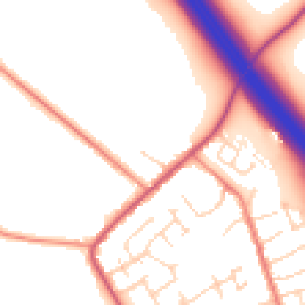
Daytime· 07:00 – 23:00
52.9dB

Night-time· 23:00 – 07:00
44.7dB