107 Church Lane, Brinsley, Nottingham, NG16 5AD
About 107 Church Lane
107 Church Lane is a three-bedroom detached house in Brinsley, Nottingham, Nottingham (NG16 5AD). It has a recorded floor area of 92 m² (around 990 sq ft), construction records dating it to 1950-1966 and council tax band C. The latest certificate (May 2016) shows a G (score 15), near the bottom of the EPC scale. Earlier certificates rated it E (November 2014); the latest reading is 2 bands lower. Between certificates, roof efficiency went from Very Poor to Poor and lighting went from Poor to Average; while hot-water efficiency dropped from Average to Very Poor and main heating dropped from Good to Very Poor. The recommended improvements would lift it to E (score 43), a 2-band jump. Main heating runs on electricity. The latest certificate is from May 2016, so improvements made since then won't be reflected.
At 92 m² it's 18.6% smaller than the typical home in the postcode (113 m² median across 5 EPCs). On energy efficiency it sits in the bottom 10% of properties in this postcode — significant headroom for improvement. Today's modelled estimate of £283,000 sits 57.2% above the 2017 sale of £180,000. On a £-per-square-foot basis, the last sale (£182/sq ft) was about 18.2% above the typical sold price in the postcode. On the market in February 2017 and unlisted since — roughly 9 years.
Know exactly what you're buying at 107 Church Lane
Before you offer, see what the listing won't tell you, the true value, the red flags and the full history.
Already flagged here
Valuation
against the asking price
Risks
planning & flood
Sold prices
similar homes nearby
Trends
the local market
What this property has
Inside
- Bedrooms3
- Bathrooms1
Outside
- Private gardenYes
Building
- Heating systemElectric
- RefurbishedYes
Energy performance
107 Church Lane sits at the bottom of the postcode for energy efficiency — meaningful headroom to improve.
EPC Expired
This certificate is over 10 years old and is no longer valid.Expired 03 May 2026
EPC Rating
Property Improvements
Changes detected from historical EPC data
Changed to a more efficient fuel source
Heating controls changed
Hot water system changed
Roof insulation improved
More low energy lighting installed
Planning history
107 Church Lane has no planning applications on record.
Notable planning nearby
4applications of note in the surrounding area
We flagged 1 thing worth checking at 107 Church Lane
Independent checks surfaced things a buyer would want to understand before offering. The report explains each one in full, with the underlying data and what to ask.
- Larger development activity nearby
30-day money-back guarantee
Sales history & valuation
£283,000
Modelled from EPC, postcode comparables.
£180,000
Recorded with HM Land Registry.
Sales timeline
20 February 2017Most recent
£180,000
Median price across the last 5 sales in NG16 5AD: £275,000 (2025–2012).
Nearby sales in NG16 5AD
109 Church Lane, Brinsley, Nottingham, NG16 5AD
Sold Jun 2025
£520,00039 Church Lane, Brinsley, Nottingham, NG16 5AD
Sold Aug 2018
£275,00043 Church Lane, Brinsley, Nottingham, NG16 5AD
Sold Jul 2018
£181,0001 Church Lane, Brinsley, Nottingham, NG16 5AD
Sold Jun 2008
£244,000111 Church Lane, Brinsley, Nottingham, NG16 5AD
Sold Oct 2007
£234,000
Everything we know about 107 Church Lane, in one report
What it's really worth, what could be wrong, and the planning, sales and area data in full.
What we flagged
- Larger development activity nearby

Versus other Church Lane homes
On epc rating, 107 Church Lane runs well behind the street norm.
Price per m²
£1,957
Street avg £1,798
Floor Area
92 m²
Street avg 129 m²
Habitable Rooms
6 rooms
Street avg 5 rooms
CO₂ Emissions
9.1 t/year
Street avg 5.5 t/year
Similar properties nearby
1 Cordy Lane, Brinsley
NG16 5BY
1 Barrows Green Cottages, Wagstaff Lane, Jacksdale
NG16 5HN
1 Church Lane, Brinsley
NG16 5AD
1 Cheshire Way, Westwood
NG16 5JT
1 Castlefields, Codnor Park, Ironville
NG16 5QJ
1 Benjamin Court, Codnor Park, Ironville
NG16 5RY
1 Ashbourne Road, Underwood
NG16 5EH
1 Alfreton Road, Underwood
NG16 5FQ
The neighbourhood at a glance
Reported crime in the wider district is trending notably upward year-on-year.
Crime
3/mo
Rising year-on-year across the wider district.
Nearest stop
0.2 km
St James Church — bus stop.
Closest school
0.4 km
Brinsley Primary and Nursery School. 13 schools nearby.
Go deeper on the local area
The full report breaks down crime, transport links, schools and air quality in depth.
Road noise across the postcode
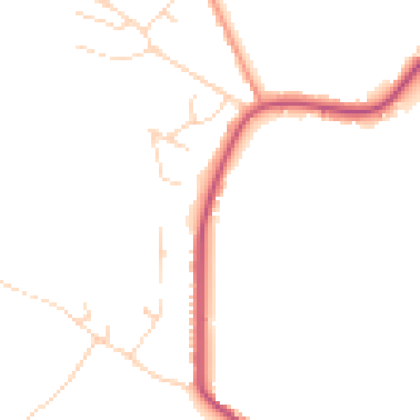
Daytime· 07:00 – 23:00
45.0dB

Night-time· 23:00 – 07:00
38.1dB