22 Church Lane, Brinsley, Nottingham, NG16 5AB
About 22 Church Lane
22 Church Lane is a two-bedroom semi-detached house in Brinsley, Nottingham, Nottingham (NG16 5AB). It has a recorded floor area of 87 m² (around 936 sq ft), construction records dating it to 1900-1929 and council tax band A. The latest certificate (December 2024) shows a D (score 55), a step below the typical UK home. When first surveyed in December 2011 the rating was E, the property has climbed 1 band since. Between certificates, roof efficiency went from Poor to Good, hot-water efficiency went from Average to Good and lighting went from Average to Very Good; while window efficiency dropped from Good to Average. The recommended improvements would push it to C (score 80).
Across 2001–2025, sale prices on this property compounded at 6.1% per year. Today's modelled estimate of £166,000 is 10.3% below the 2025 sale of £185,000, below the original sale price, which typically signals condition or completion-status changes worth verifying. On a £-per-square-foot basis, the last sale (£198/sq ft) was about 67.3% above the typical sold price in the postcode. A recent sale: £185,000 in October 2025. Across the public record there are 4 sales, relatively high churn for a single property.
Know exactly what you're buying at 22 Church Lane
Before you offer, see what the listing won't tell you, the true value, the red flags and the full history.
Already flagged here
Valuation
against the asking price
Risks
planning & flood
Sold prices
similar homes nearby
Trends
the local market
What this property has
Inside
- Bedrooms2
- Bathrooms1
Energy performance
EPC Rating
Property Improvements
Changes detected from historical EPC data
Heating controls upgraded for better temperature management
Hot water system upgraded
Roof insulation improved
More low energy lighting installed
Planning history
22 Church Lane has no planning applications on record.
Notable planning nearby
4applications of note in the surrounding area
We flagged 1 thing worth checking at 22 Church Lane
Independent checks surfaced things a buyer would want to understand before offering. The report explains each one in full, with the underlying data and what to ask.
- Larger development activity nearby
30-day money-back guarantee
Sales history & valuation
22 Church Lane has more than quadrupled in price since its earliest registered sale in 2001.
£166,000
Modelled from EPC, postcode comparables and a sale-price growth of 6.1% per year over 24 years.
£185,000
Growth on file: 6.1% per year over 24 years.
Sales timeline
21 October 2025Most recent
£185,000
+101.1%over 13 years17 February 2012
£92,000
+21.9%over 8 years6 May 2003
£75,500
+67.8%over 1 year7 December 2001
£45,000
Median price across the last 5 sales in NG16 5AB: £229,000 (2024–2024).
Nearby sales in NG16 5AB
118 Church Lane, Brinsley, Nottingham, NG16 5AB
Sold Oct 2024
£273,00028 Church Lane, Brinsley, Nottingham, NG16 5AB
Sold Jul 2024
£229,0006 Church Lane, Brinsley, Nottingham, NG16 5AB
Sold Apr 2024
£255,00080 Church Lane, Brinsley, Nottingham, NG16 5AB
Sold Jan 2024
£150,00046 Church Lane, Brinsley, Nottingham, NG16 5AB
Sold Jan 2023
£270,000
Everything we know about 22 Church Lane, in one report
What it's really worth, what could be wrong, and the planning, sales and area data in full.
What we flagged
- Larger development activity nearby

Versus other Church Lane homes
On years held, 22 Church Lane runs well behind the street norm.
Price per m²
£2,126
Street avg £1,506
Floor Area
87 m²
Street avg 90 m²
Habitable Rooms
4 rooms
Street avg 5 rooms
CO₂ Emissions
4.9 t/year
Street avg 4.9 t/year
Similar properties nearby
1 Arthurs View, Vicarage Lane, Codnor Park, Ironville
NG16 5PS
1 Albert Avenue, Jacksdale
NG16 5LD
1 Butterley Lodge, Parkside Drive, Codnor Park, Ironville
NG16 5PY
1 Benjamin Court, Codnor Park, Ironville
NG16 5RY
1 Castlefields, Codnor Park, Ironville
NG16 5QJ
1 Cheshire Way, Westwood
NG16 5JT
1 Church Lane, Brinsley
NG16 5AD
1 Cordy Lane, Brinsley
NG16 5BY
The neighbourhood at a glance
Reported crime in the wider district is trending notably upward year-on-year.
Crime
3/mo
Rising year-on-year across the wider district.
Nearest stop
0.0 km
St James Church — bus stop.
Closest school
0.5 km
Brinsley Primary and Nursery School. 15 schools nearby.
Go deeper on the local area
The full report breaks down crime, transport links, schools and air quality in depth.
Road noise across the postcode
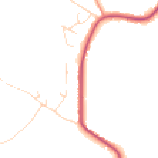
Daytime· 07:00 – 23:00
45.1dB

Night-time· 23:00 – 07:00
38.4dB