8 Chewton Avenue, Eastwood, Nottingham, NG16 3GZ
About 8 Chewton Avenue
8 Chewton Avenue is a property in Eastwood, Nottingham, Nottingham (NG16 3GZ). It has council tax band C.
Untraded for 30 years, with the last transfer in August 1996. Only one transfer is on record with HM Land Registry, suggesting it has stayed in the same hands for a long time.
Know exactly what you're buying at 8 Chewton Avenue
Before you offer, see what the listing won't tell you, the true value, the red flags and the full history.
Already flagged here
Valuation
against the asking price
Risks
planning & flood
Sold prices
similar homes nearby
Trends
the local market
Energy performance
No EPC on record
This property doesn't have an Energy Performance Certificate yet. An EPC is required to sell or let — and unlocks our automated valuation.
Planning history
8 Chewton Avenue has no planning applications on record.
Notable planning nearby
4applications of note in the surrounding area
We flagged 1 thing worth checking at 8 Chewton Avenue
Independent checks surfaced things a buyer would want to understand before offering. The report explains each one in full, with the underlying data and what to ask.
- Larger development activity nearby
30-day money-back guarantee
Sales history & valuation
8 Chewton Avenue has been held in the same hands since before 2000.
£50,000
Recorded with HM Land Registry.
Sales timeline
8 August 1996Most recent
£50,000
Median price across the last 5 sales in NG16 3GZ: £123,500 (2025–2004).
Nearby sales in NG16 3GZ
Everything we know about 8 Chewton Avenue, in one report
What it's really worth, what could be wrong, and the planning, sales and area data in full.
What we flagged
- Larger development activity nearby

Similar properties nearby
1 Abbey Road, Eastwood
NG16 3FF
1 Addison Villas, Eastwood
NG16 3JA
1 Albert Street, Eastwood
NG16 3BA
1 Ambleside Drive, Eastwood
NG16 3RR
1 Argyle Mews, Eastwood
NG16 3BX
1 Atherfield Gardens, Eastwood
NG16 3BZ
1 Bailey Grove Road, Eastwood
NG16 3PE
1 Barber Street, Eastwood
NG16 3EW
The neighbourhood at a glance
Reported crime in the wider district is trending notably upward year-on-year.
Crime
3/mo
Rising year-on-year across the wider district.
Nearest stop
0.2 km
Castle Street — bus stop.
Closest school
0.1 km
The Priory Catholic Voluntary Academy. 14 schools nearby.
Go deeper on the local area
The full report breaks down crime, transport links, schools and air quality in depth.
Road noise across the postcode
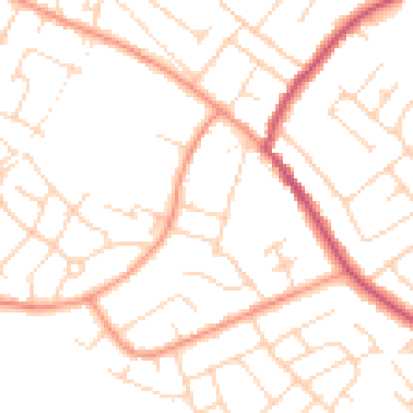
Daytime· 07:00 – 23:00
49.8dB

Night-time· 23:00 – 07:00
39.5dB