1 Foundry Cottages, Cossall, Nottingham, NG16 2SE
About 1 Foundry Cottages
1 Foundry Cottages is an end-of-terrace house in Cossall, Nottingham, Nottingham (NG16 2SE). It has a recorded floor area of 128 m² (around 1378 sq ft), construction records dating it to 1900-1929 and council tax band A. The latest certificate (December 2016) shows a G (score 10), near the bottom of the EPC scale. The recommended improvements would lift it to C (score 73), a 4-band jump. Main heating runs on oil.
Today's modelled estimate of £283,000 is 31.6% above the 2018 sale price. Last sale on file: £215,000 in June 2018.
Know exactly what you're buying at 1 Foundry Cottages
Before you offer, see what the listing won't tell you, the true value, the red flags and the full history.
Valuation
against the asking price
Risks
planning & flood
Sold prices
similar homes nearby
Trends
the local market
Energy performance
1 Foundry Cottages's carbon output runs well above what efficient homes in the postcode produce.
EPC Rating
Planning history
1 Foundry Cottages has no planning applications on record.
Notable planning nearby
2applications of note in the surrounding area
Sales history & valuation
£283,000
Modelled from EPC, postcode comparables.
£215,000
Recorded with HM Land Registry.
Sales timeline
28 June 2018Most recent
£215,000
Median price across the last 2 sales in NG16 2SE: £143,500 (2007–1999).
Everything we know about 1 Foundry Cottages, in one report
What it's really worth, what could be wrong, and the planning, sales and area data in full.
- Am I paying too much?
- Is something wrong with it?
- Is the agent's story true?
- Will it hold its value?

Similar properties nearby
1 Bacon Close, Giltbrook
NG16 2UW
1 Blants Close, Kimberley
NG16 2AD
1 Barley Close, Kimberley
NG16 2PL
1 Aintree Close, Kimberley
NG16 2TT
1 Angus Close, Kimberley
NG16 2GX
1 Acorn Avenue, Giltbrook
NG16 2UF
1 Baldwin Street, Newthorpe
NG16 2DS
1 Barlow Drive North, Awsworth
NG16 2RQ
The neighbourhood at a glance
Rail-style transport is unusually close for this postcode.
Crime
3/mo
Rising year-on-year across the wider district.
Nearest stop
0.5 km
Awsworth Lane — bus stop.
Closest school
0.8 km
Awsworth Primary and Nursery School. 15 schools nearby.
Go deeper on the local area
The full report breaks down crime, transport links, schools and air quality in depth.
Road noise across the postcode
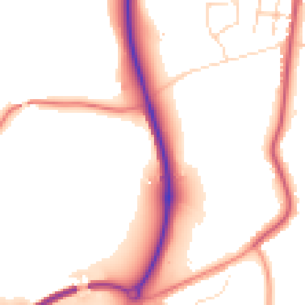
Daytime· 07:00 – 23:00
53.0dB

Night-time· 23:00 – 07:00
45.7dB