4 Chadburn Road, Linby, Nottingham, NG15 8JT
About 4 Chadburn Road
4 Chadburn Road is a detached house in Linby, Nottingham, Nottingham (NG15 8JT). It has a recorded floor area of 114 m² (around 1227 sq ft) and construction records dating it to 2021. The latest certificate (June 2024) returns a B (score 84), comfortably above the UK average. The recommended improvements would push it to A (score 93).
On a £-per-square-foot basis, the last sale (£338/sq ft) was about 27% above the typical sold price in the postcode. Last sale on file: £414,950 in June 2024.
Everything you need to know about 4 Chadburn Road
The true value, the hidden risks and the full sale history, in one report.
30-day money-back guarantee

The data behind every report


Energy performance
EPC Rating
Planning history
4 Chadburn Road has no planning applications on record.
The full report still covers planning activity across the surrounding area.
Sales history & valuation
4 Chadburn Road valuation sits well clear of the typical sold price in this postcode.
£401,000
Modelled from EPC, postcode comparables.
£414,950
Recorded with HM Land Registry.
Sales timeline
27 June 2024Most recent
£414,950
Median price across the last 5 sales in NG15 8JT: £325,000 (2025–2024).
Nearby sales in NG15 8JT
49 Chadburn Road, Linby, Nottingham, NG15 8JT
Sold Oct 2025
£415,00054 Chadburn Road, Linby, Nottingham, NG15 8JT
Sold Oct 2025
£325,0001 Chadburn Road, Linby, Nottingham, NG15 8JT
Sold Jul 2025
£277,00064 Chadburn Road, Linby, Nottingham, NG15 8JT
Sold Mar 2025
£439,20045 Chadburn Road, Linby, Nottingham, NG15 8JT
Sold Nov 2024
£284,000
Versus other Chadburn Road homes
Price per m² for 4 Chadburn Road runs comfortably ahead of the street norm.
Price per m²
£3,640
Street avg £2,869
Floor Area
114 m²
Street avg 115 m²
CO₂ Emissions
1.8 t/year
Street avg 1.7 t/year
Years Held
2 years
Street avg 4 years
Everything you need to know about 4 Chadburn Road
The true value, the hidden risks and the full sale history, in one report.
30-day money-back guarantee
The data behind every report
Similar properties nearby
1 Davy Close, Linby
NG15 8GZ
1 Antonia Drive, Hucknall
NG15 8JB
1 Emperors Way, Hucknall
NG15 8GG
1 Ermine Walk, Ryknield Road, Hucknall
NG15 8HP
1 Askew Road, Linby
NG15 8JU
1 Cranswick Close, Linby
NG15 8JX
1 Dawn Close, Hucknall
NG15 8DF
1 Baxter Close, Linby
NG15 8LF
The neighbourhood at a glance
Daytime road noise here sits well below conversation level — a quiet pocket of the postcode.
Crime
4/mo
Steady year-on-year across the wider district.
Nearest stop
0.3 km
Kenbrook Road — bus stop.
Closest school
0.7 km
Holy Cross Primary Catholic Voluntary Academy. 11 schools nearby.
Go deeper on the local area
The full report breaks down crime, transport links, schools and air quality in depth.
Road noise across the postcode
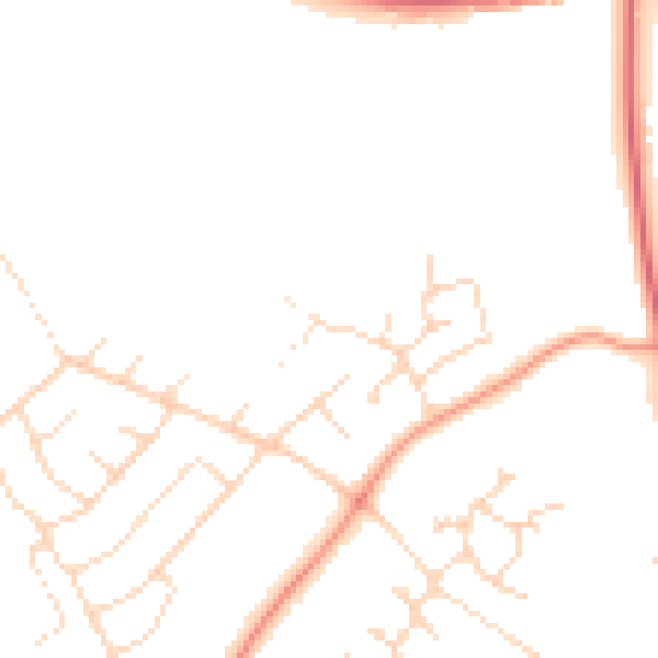
Daytime· 07:00 – 23:00
45.8dB

Night-time· 23:00 – 07:00
37.4dB