12 St Johns Street, Long Eaton, Nottingham, NG10 1BW
About 12 St Johns Street
12 St Johns Street is a two-bedroom detached house in Long Eaton, Nottingham, Nottingham (NG10 1BW). It has a recorded floor area of 140 m² (around 1507 sq ft), construction records dating it to before 1900 and council tax band B. The latest certificate (March 2020) shows an E (score 42), well below the UK norm with real room to improve. The rating has held steady at E across 2 certificates since March 2012. Between certificates, roof efficiency dropped from Good to Very Poor and lighting dropped from Good to Average. The recommended improvements would lift it to C (score 74), a 2-band jump. Period features are noted in the property record.
At 140 m² the property is well over the postcode median (84 m² across 37 EPCs), placing it in the larger end of the local stock. It lags the bulk of the postcode on energy efficiency (less efficient than 89% of similar EPCs). Across 1999–2018, sale prices on this property compounded at 5.4% per year. Today's modelled estimate of £201,000 sits 89.6% above the 2018 sale of £106,000. On a £-per-square-foot basis, the last sale (£70/sq ft) was about 40.1% below the postcode norm. 8 years since the last transfer (May 2018).
Know exactly what you're buying at 12 St Johns Street
Before you offer, see what the listing won't tell you, the true value, the red flags and the full history.
Already flagged here
Valuation
against the asking price
Risks
planning & flood
Sold prices
similar homes nearby
Trends
the local market
What this property has
Inside
- Bedrooms2
- Bathrooms1
- CloakroomYes
- StudyYes
Outside
- Private gardenRear
Building
- Heating systemGas
- Period featuresYes
Energy performance
12 St Johns Street's carbon output runs well above what efficient homes in the postcode produce.
EPC Rating
Planning history
12 St Johns Street has no planning applications on record.
Notable planning nearby
18applications of note in the surrounding area
We flagged 2 things worth checking at 12 St Johns Street
Independent checks surfaced things a buyer would want to understand before offering. The report explains each one in full, with the underlying data and what to ask.
- Signs of HMO activity in the area
- Larger development activity nearby
30-day money-back guarantee
Sales history & valuation
Sale price has at least doubled since 1999.
£201,000
Modelled from EPC, postcode comparables and a sale-price growth of 5.4% per year over 19 years.
£106,000
Growth on file: 5.4% per year over 19 years.
Sales timeline
3 May 2018Most recent
£106,000
+3.9%over 11 years30 August 2006
£102,000
+155.0%over 7 years26 August 1999
£39,995
Median price across the last 5 sales in NG10 1BW: £220,000 (2025–2024).
Nearby sales in NG10 1BW
22 St Johns Street, Long Eaton, Nottingham, NG10 1BW
Sold Apr 2025
£220,00032 St Johns Street, Long Eaton, Nottingham, NG10 1BW
Sold Nov 2024
£220,00015 St Johns Street, Long Eaton, Nottingham, NG10 1BW
Sold Oct 2024
£220,00049 St Johns Street, Long Eaton, Nottingham, NG10 1BW
Sold May 2024
£170,00030 St Johns Street, Long Eaton, Nottingham, NG10 1BW
Sold May 2024
£168,000
Everything we know about 12 St Johns Street, in one report
What it's really worth, what could be wrong, and the planning, sales and area data in full.
What we flagged
- Signs of HMO activity in the area
- Larger development activity nearby

Versus other St Johns Street homes
EPC Rating for 12 St Johns Street lags the street by a wide margin.
Price per m²
£757
Street avg £1,645
Floor Area
140 m²
Street avg 89 m²
Habitable Rooms
7 rooms
Street avg 5 rooms
CO₂ Emissions
9.7 t/year
Street avg 3.2 t/year
Similar properties nearby
1 Collingwood Road, Long Eaton
NG10 1DR
1 Brook Close, Long Eaton
NG10 1QA
1 Dale Avenue, Long Eaton
NG10 1NP
1 Acton Road, Long Eaton
NG10 1FR
1 Farm Close, Long Eaton
NG10 1PL
1 Friar Street, Long Eaton
NG10 1BZ
1 Belvoir Close, Long Eaton
NG10 1NW
1 Craig Street, Long Eaton
NG10 1ET
The neighbourhood at a glance
Daytime road noise here sits well below conversation level — a quiet pocket of the postcode.
Crime
6/mo
Steady year-on-year across the wider district.
Nearest stop
0.1 km
Brooklands Court — bus stop.
Closest school
0.1 km
Brooklands Primary School. 16 schools nearby.
Go deeper on the local area
The full report breaks down crime, transport links, schools and air quality in depth.
Road noise across the postcode
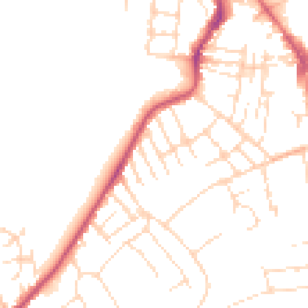
Daytime· 07:00 – 23:00
48.7dB

Night-time· 23:00 – 07:00
38.8dB