9 Kirkwhite Avenue, Long Eaton, Nottingham, NG10 1BS
About 9 Kirkwhite Avenue
9 Kirkwhite Avenue is an end-of-terrace house in Long Eaton, Nottingham, Nottingham (NG10 1BS). It has a recorded floor area of 80 m² (around 861 sq ft), construction records dating it to 1900-1929 and council tax band A. The latest certificate (April 2021) shows a D (score 62), on the cusp of jumping into the C band. When first surveyed in November 2014 the rating was F, the property has climbed 2 bands since. Between certificates, roof efficiency went from Very Poor to Good, hot-water efficiency went from Very Poor to Good and lighting went from Poor to Very Good. The recommended improvements would lift it to B (score 84), a 2-band jump.
Last sale on file: £145,000 in May 2021. Across the public record there are 4 sales, relatively high churn for a single property. That sale was during the post-pandemic price surge, when transactions cleared materially above pre-2020 trend. Across 2015–2021, sale prices on this property compounded at 9.8% per year. Today's modelled estimate of £179,000 is 23.4% above the 2021 sale price. On a £-per-square-foot basis, the last sale (£168/sq ft) was about 68% above the typical sold price in the postcode.
Know exactly what you're buying at 9 Kirkwhite Avenue
Before you offer, see what the listing won't tell you, the true value, the red flags and the full history.
Already flagged here
Valuation
against the asking price
Risks
planning & flood
Sold prices
similar homes nearby
Trends
the local market
Energy performance
Recommended upgrades on file would lift this property by multiple EPC bands.
EPC Rating
Property Improvements
Changes detected from historical EPC data
Heating controls upgraded for better temperature management
Hot water system upgraded
Roof insulation improved
More low energy lighting installed
Planning history
9 Kirkwhite Avenue has no planning applications on record.
Notable planning nearby
18applications of note in the surrounding area
We flagged 2 things worth checking at 9 Kirkwhite Avenue
Independent checks surfaced things a buyer would want to understand before offering. The report explains each one in full, with the underlying data and what to ask.
- Signs of HMO activity in the area
- Larger development activity nearby
30-day money-back guarantee
Sales history & valuation
9 Kirkwhite Avenue saw 4 transfers in just over a decade — high turnover for the postcode.
£179,000
Modelled from EPC, postcode comparables and a sale-price growth of 9.8% per year over 6 years.
£145,000
Growth on file: 9.8% per year over 6 years.
Sales timeline
27 May 2021Most recent
£145,000
+3.6%over 3 years22 April 2018
£139,995
+23.9%over 2 years2 July 2015
£113,000
+41.3%20 January 2015
£80,000
Median price across the last 5 sales in NG10 1BS: £157,000 (2025–2024).
Nearby sales in NG10 1BS
15 Kirkwhite Avenue, Long Eaton, Nottingham, NG10 1BS
Sold May 2025
£157,00011 Kirkwhite Avenue, Long Eaton, Nottingham, NG10 1BS
Sold Aug 2024
£105,00020 Kirkwhite Avenue, Long Eaton, Nottingham, NG10 1BS
Sold Jul 2024
£165,0004 Kirkwhite Avenue, Long Eaton, Nottingham, NG10 1BS
Sold Jan 2024
£205,00028 Kirkwhite Avenue, Long Eaton, Nottingham, NG10 1BS
Sold Jun 2023
£155,000
Everything we know about 9 Kirkwhite Avenue, in one report
What it's really worth, what could be wrong, and the planning, sales and area data in full.
What we flagged
- Signs of HMO activity in the area
- Larger development activity nearby

Versus other Kirkwhite Avenue homes
On price per m², 9 Kirkwhite Avenue stands well clear of the street.
Price per m²
£1,813
Street avg £1,395
Floor Area
80 m²
Street avg 80 m²
Habitable Rooms
4 rooms
Street avg 4 rooms
CO₂ Emissions
4.0 t/year
Street avg 3.9 t/year
Similar properties nearby
1 Clumber Street, Long Eaton
NG10 1BX
1 Alexandra Road, Long Eaton
NG10 1LA
1 Brook Close, Long Eaton
NG10 1QA
1 Friar Street, Long Eaton
NG10 1BZ
1 Charles Street, Long Eaton
NG10 1DJ
1 Dale Avenue, Long Eaton
NG10 1NP
1 Acton Road, Long Eaton
NG10 1FR
1 Craig Street, Long Eaton
NG10 1ET
The neighbourhood at a glance
Daytime road noise here sits well below conversation level — a quiet pocket of the postcode.
Crime
6/mo
Steady year-on-year across the wider district.
Nearest stop
0.1 km
Brooklands Court — bus stop.
Closest school
0.2 km
Brooklands Primary School. 16 schools nearby.
Go deeper on the local area
The full report breaks down crime, transport links, schools and air quality in depth.
Road noise across the postcode
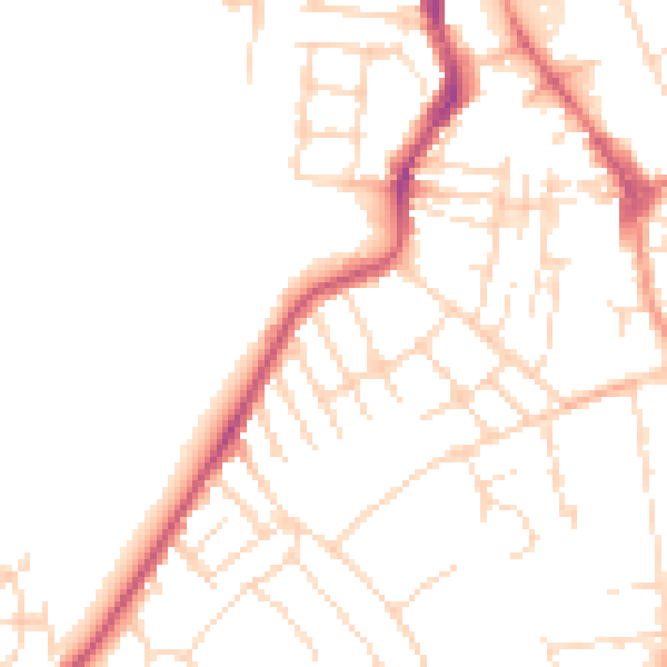
Daytime· 07:00 – 23:00
49.0dB

Night-time· 23:00 – 07:00
39.0dB