8 Dally Mews, Newcastle Upon Tyne, NE3 5RT
About 8 Dally Mews
8 Dally Mews is a detached house in Newcastle Upon Tyne (NE3 5RT). It has a recorded floor area of 159 m² (around 1711 sq ft), construction records dating it to 2003-2006 and council tax band F. The latest certificate (January 2017) shows a C (score 74). The recommended improvements would push it to B (score 83).
Across 2004–2017, sale prices on this property compounded at 1.1% per year. Today's modelled estimate of £576,000 is 37.1% above the 2017 sale price. On a £-per-square-foot basis, the last sale (£245/sq ft) was about 21.9% above the typical sold price in the postcode. On the market in April 2017 and unlisted since — roughly 9 years.
Everything you need to know about 8 Dally Mews
The true value, the hidden risks and the full sale history, in one report.
30-day money-back guarantee

The data behind every report


Energy performance
EPC Rating
Planning history
8 Dally Mews has no planning applications on record.
The full report still covers planning activity across the surrounding area.
Sales history & valuation
Latest sale on 8 Dally Mews was the highest on Land Registry record across the postcode.
£576,000
Modelled from EPC, postcode comparables and a sale-price growth of 1.1% per year over 13 years.
£420,000
Growth on file: 1.1% per year over 13 years.
Sales timeline
2 April 2017Most recent
£420,000
+15.1%over 13 years30 March 2004
£365,000
Median price across the last 5 sales in NE3 5RT: £390,000 (2023–2007).
Nearby sales in NE3 5RT
9 Dally Mews, Newcastle Upon Tyne, NE3 5RT
Sold Oct 2023
£348,0005 Dally Mews, Newcastle Upon Tyne, NE3 5RT
Sold Mar 2016
£410,0006 Dally Mews, Newcastle Upon Tyne, NE3 5RT
Sold Apr 2013
£390,0007 Dally Mews, Newcastle Upon Tyne, NE3 5RT
Sold Dec 2007
£410,0002 Dally Mews, Newcastle Upon Tyne, NE3 5RT
Sold Aug 2006
£340,000
Versus other Dally Mews homes
On co₂ emissions, 8 Dally Mews runs well behind the street norm.
Price per m²
£2,642
Street avg £2,427
Floor Area
159 m²
Street avg 156 m²
Habitable Rooms
8 rooms
Street avg 8 rooms
CO₂ Emissions
4.6 t/year
Street avg 3.5 t/year
Everything you need to know about 8 Dally Mews
The true value, the hidden risks and the full sale history, in one report.
30-day money-back guarantee
The data behind every report
Similar properties nearby
The neighbourhood at a glance
Crime
6/mo
Steady year-on-year across the wider district.
Nearest stop
0.1 km
Netherwitton Way — bus stop.
Closest school
0.7 km
Brunton First School. 20 schools nearby.
Go deeper on the local area
The full report breaks down crime, transport links, schools and air quality in depth.
Road noise across the postcode
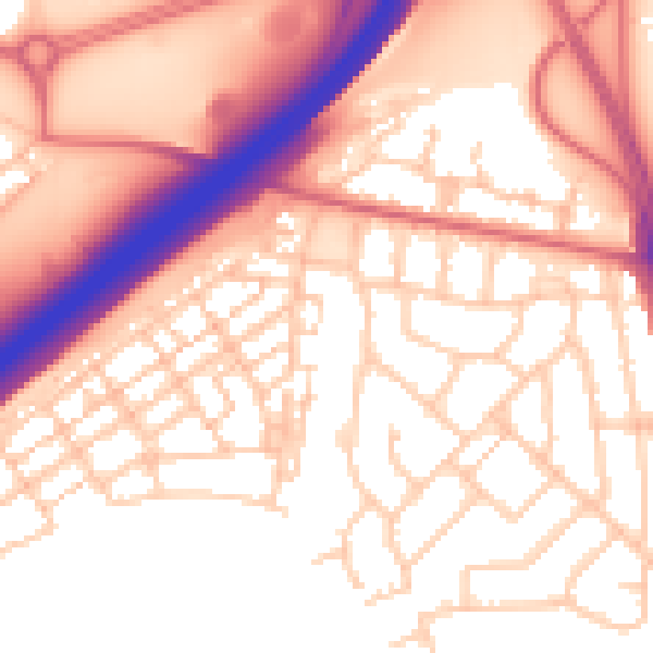
Daytime· 07:00 – 23:00
55.9dB

Night-time· 23:00 – 07:00
45.5dB