19 Clarendon Mews, Brunton Lane, Newcastle Upon Tyne, NE3 5ED
About 19 Clarendon Mews
19 Clarendon Mews is a mid-terrace house in Newcastle Upon Tyne (NE3 5ED). It has a recorded floor area of 62 m² (around 667 sq ft), construction records dating it to 1991-1995 and council tax band C. The latest certificate (March 2023) shows a C (score 79), near the top of the C band. The rating has held steady at C across 2 certificates since June 2013. Between certificates, lighting dropped from Very Good to Good. The recommended improvements would push it to B (score 82). Main heating runs on electricity. At 62 m² this is the 16th smallest of 30 units on EPC record in the building, where floor areas span 32–81 m². The building's EPC ratings span E to B across 30 units on file.
Across 2003–2024, sale prices on this property compounded at -1.7% per year. Today's modelled estimate of £139,000 is 18.8% above the 2024 sale price. On a £-per-square-foot basis, the last sale (£175/sq ft) was about 22.7% below the postcode norm. Last sale on file: £117,000 in May 2024.
Everything you need to know about 19 Clarendon Mews
The true value, the hidden risks and the full sale history, in one report.
30-day money-back guarantee

The data behind every report


Energy performance
EPC Rating
Planning history
19 Clarendon Mews has no planning applications on record.
The full report still covers planning activity across the surrounding area.
Sales history & valuation
19 Clarendon Mews's sale-price growth has lagged the wider UK trajectory across its history on file.
£139,000
Modelled from EPC, postcode comparables and a sale-price growth of -1.7% per year over 20 years.
£117,000
Growth on file: -1.7% per year over 20 years.
Sales timeline
2 May 2024Most recent
£117,000
-30.1%over 20 years23 December 2003
£167,500
Median price across the last 5 sales in NE3 5ED: £130,000 (2025–2023).
Nearby sales in NE3 5ED
20 Clarendon Mews, Brunton Lane, Newcastle Upon Tyne, NE3 5ED
Sold Nov 2025
£130,0002 Clarendon Mews, Brunton Lane, Newcastle Upon Tyne, NE3 5ED
Sold Dec 2024
£130,00017 Clarendon Mews, Brunton Lane, Newcastle Upon Tyne, NE3 5ED
Sold Jun 2024
£140,00029 Clarendon Mews, Brunton Lane, Newcastle Upon Tyne, NE3 5ED
Sold May 2023
£130,00013 Clarendon Mews, Brunton Lane, Newcastle Upon Tyne, NE3 5ED
Sold Apr 2023
£115,000
Versus other Brunton Lane homes
19 Clarendon Mews is notably below the street on years held.
Price per m²
£1,887
Street avg £2,250
Floor Area
62 m²
Street avg 60 m²
Habitable Rooms
3 rooms
Street avg 3 rooms
CO₂ Emissions
2.7 t/year
Street avg 2.9 t/year
Everything you need to know about 19 Clarendon Mews
The true value, the hidden risks and the full sale history, in one report.
30-day money-back guarantee
The data behind every report
Similar properties nearby
The neighbourhood at a glance
Crime
6/mo
Steady year-on-year across the wider district.
Nearest stop
0.1 km
Great North Road-Brunton Lane — bus stop.
Closest school
1.2 km
Brunton First School. 17 schools nearby.
Go deeper on the local area
The full report breaks down crime, transport links, schools and air quality in depth.
Road noise across the postcode
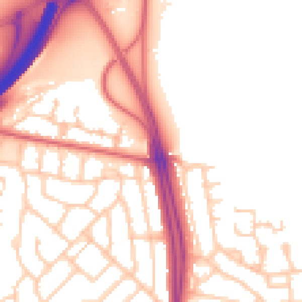
Daytime· 07:00 – 23:00
53.6dB

Night-time· 23:00 – 07:00
44.8dB