12 Bloomsbury Court, Newcastle Upon Tyne, NE3 4LW
About 12 Bloomsbury Court
12 Bloomsbury Court is a property in Newcastle Upon Tyne (NE3 4LW). It has council tax band G.
It hasn't traded since June 1998, a hold of 28 years that's notably long for the area. Only one transfer is on record with HM Land Registry, suggesting it has stayed in the same hands for a long time. One planning record on file: an extension approved in 2005. Past consents include an extension, a conservatory and partial demolition, meaningful when judging how the property has evolved.
Everything you need to know about 12 Bloomsbury Court
The true value, the hidden risks and the full sale history, in one report.
30-day money-back guarantee

The data behind every report


Energy performance
No EPC on record
This property doesn't have an Energy Performance Certificate yet. An EPC is required to sell or let — and unlocks our automated valuation.
Planning history
Planning history includes recorded demolition works, indicating a major rebuild phase at this address.
- Jul 2005ConservatoryFullIn report
Extension: Single storey · Rear of property
Erection of single storey conservatory to rear following demolition of existing sun room as amended by plans received 01.07.2005.
ExtensionDemolition- Reference
- 2005/1124/01/DET
We flagged 1 thing worth checking at 12 Bloomsbury Court
Independent checks surfaced things a buyer would want to understand before offering. The report explains each one in full, with the underlying data and what to ask.
- Larger development activity nearby
30-day money-back guarantee
Sales history & valuation
12 Bloomsbury Court has been held in the same hands since before 2000.
£249,500
Recorded with HM Land Registry.
Sales timeline
25 June 1998Most recent
£249,500
Median price across the last 5 sales in NE3 4LW: £640,000 (2021–2011).
Nearby sales in NE3 4LW
11 Bloomsbury Court, Newcastle Upon Tyne, NE3 4LW
Sold Apr 2021
£712,0004 Bloomsbury Court, Newcastle Upon Tyne, NE3 4LW
Sold Jun 2020
£650,0006 Bloomsbury Court, Newcastle Upon Tyne, NE3 4LW
Sold Jun 2019
£610,0007 Bloomsbury Court, Newcastle Upon Tyne, NE3 4LW
Sold Jul 2017
£640,0001 Bloomsbury Court, Newcastle Upon Tyne, NE3 4LW
Sold Oct 2011
£425,000
Everything you need to know about 12 Bloomsbury Court
The true value, the hidden risks and the full sale history, in one report.
30-day money-back guarantee
The data behind every report
Similar properties nearby
The neighbourhood at a glance
Crime
6/mo
Steady year-on-year across the wider district.
Nearest stop
0.2 km
Salters Road-Sanderson Hospital — bus stop.
Closest school
0.4 km
Archibald First School. 23 schools nearby.
Go deeper on the local area
The full report breaks down crime, transport links, schools and air quality in depth.
Road noise across the postcode
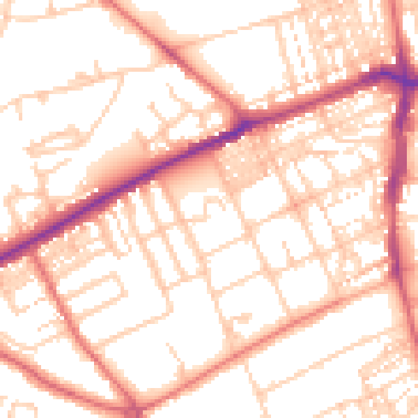
Daytime· 07:00 – 23:00
53.8dB

Night-time· 23:00 – 07:00
42.2dB