7 The Ridgeway, Kenton, Newcastle Upon Tyne, NE3 4LP
About 7 The Ridgeway
7 The Ridgeway is a property in Kenton, Newcastle Upon Tyne, Newcastle Upon Tyne (NE3 4LP). It has council tax band C.
Untraded for 24 years, with the last transfer in May 2002. 4 planning records sit against the property, 1 approved, 3 refused. Past consents include an extension, meaningful when judging how the property has evolved.
Everything you need to know about 7 The Ridgeway
The true value, the hidden risks and the full sale history, in one report.
30-day money-back guarantee

The data behind every report


Energy performance
No EPC on record
This property doesn't have an Energy Performance Certificate yet. An EPC is required to sell or let — and unlocks our automated valuation.
Planning history
7 The Ridgeway has 2 separate extension applications on the council record.
- Oct 2008ExtensionFullIn report
Extension: Single storey · Side of property
Erection of first floor bedrooms extension over existing garage and kitchen to side, dormer window to rear to provide bedroom/study in roofspace.
- Documents
- 7 docs on file
- Reference
- 2008/1333/01/DET
- Sept 2005ExtensionFullIn report
Extension: Single storey
Erection of single storey garage, utility and kitchen extension to side.
- Reference
- 2005/1522/01/DET
We flagged 1 thing worth checking at 7 The Ridgeway
Independent checks surfaced things a buyer would want to understand before offering. The report explains each one in full, with the underlying data and what to ask.
- Larger development activity nearby
30-day money-back guarantee
Sales history & valuation
£127,500
Recorded with HM Land Registry.
Sales timeline
9 May 2002Most recent
£127,500
Median price across the last 5 sales in NE3 4LP: £223,000 (2019–2016).
Nearby sales in NE3 4LP
12 The Ridgeway, Kenton, Newcastle Upon Tyne, NE3 4LP
Sold Jun 2019
£249,99510 The Ridgeway, Kenton, Newcastle Upon Tyne, NE3 4LP
Sold Nov 2018
£205,00027 The Ridgeway, Kenton, Newcastle Upon Tyne, NE3 4LP
Sold Mar 2018
£223,00013 The Ridgeway, Kenton, Newcastle Upon Tyne, NE3 4LP
Sold Jan 2018
£240,00017 The Ridgeway, Kenton, Newcastle Upon Tyne, NE3 4LP
Sold Aug 2016
£204,500
Everything you need to know about 7 The Ridgeway
The true value, the hidden risks and the full sale history, in one report.
30-day money-back guarantee
The data behind every report
Similar properties nearby
The neighbourhood at a glance
Crime
6/mo
Steady year-on-year across the wider district.
Nearest stop
0.2 km
The Cross Way-Drummond Road — bus stop.
Closest school
0.5 km
Mountfield Primary School. 32 schools nearby.
Go deeper on the local area
The full report breaks down crime, transport links, schools and air quality in depth.
Road noise across the postcode
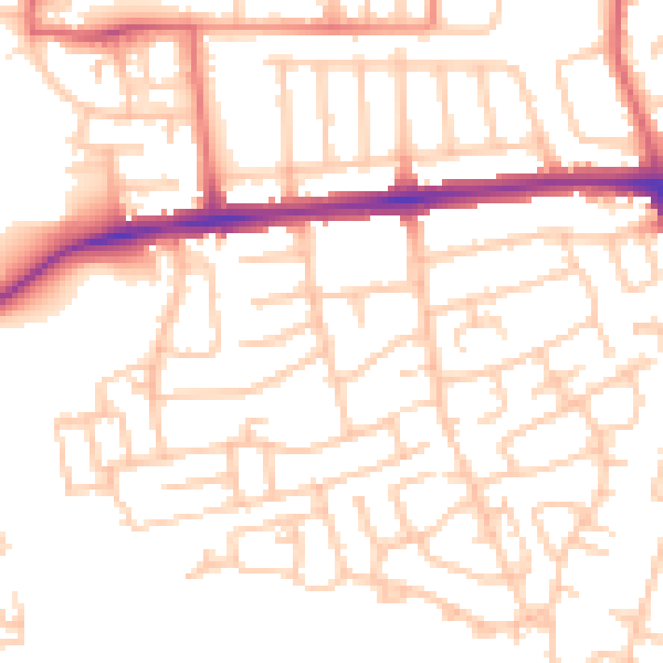
Daytime· 07:00 – 23:00
52.0dB

Night-time· 23:00 – 07:00
41.1dB