8 Alverton Close, Newcastle Upon Tyne, NE3 3JD
About 8 Alverton Close
8 Alverton Close is an end-of-terrace house in Newcastle Upon Tyne (NE3 3JD). It has a recorded floor area of 78 m² (around 840 sq ft), construction records dating it to 2012-2021 and council tax band B. The latest certificate (November 2025) shows a C (score 80), near the top of the C band. Earlier certificates rated it B (November 2015); the latest reading is one band lower. Between certificates, wall efficiency dropped from Very Good to Good and roof efficiency dropped from Very Good to Good. The recommended improvements would push it to B (score 85).
On energy efficiency it sits in the bottom 10% of properties in this postcode — significant headroom for improvement. Today's modelled estimate of £162,000 is 15.7% above the 2016 sale price. On a £-per-square-foot basis, the last sale (£167/sq ft) was about 15.6% below the postcode norm. Last changed hands 10 years ago, in March 2016.
Everything you need to know about 8 Alverton Close
The true value, the hidden risks and the full sale history, in one report.
30-day money-back guarantee

The data behind every report


Energy performance
8 Alverton Close sits at the bottom of the postcode for energy efficiency — meaningful headroom to improve.
EPC Rating
Planning history
8 Alverton Close has no planning applications on record.
Notable planning nearby
1applications of note in the surrounding area
Sales history & valuation
£162,000
Modelled from EPC, postcode comparables.
£140,000
Recorded with HM Land Registry.
Sales timeline
30 March 2016Most recent
£140,000
Median price across the last 5 sales in NE3 3JD: £145,000 (2025–2016).
Nearby sales in NE3 3JD
2 Alverton Close, Newcastle Upon Tyne, NE3 3JD
Sold Oct 2025
£145,0001 Alverton Close, Newcastle Upon Tyne, NE3 3JD
Sold Feb 2022
£195,0005 Alverton Close, Newcastle Upon Tyne, NE3 3JD
Sold May 2021
£185,0004 Alverton Close, Newcastle Upon Tyne, NE3 3JD
Sold Jan 2020
£129,0007 Alverton Close, Newcastle Upon Tyne, NE3 3JD
Sold Aug 2016
£130,000
Versus other Alverton Close homes
Years Held for 8 Alverton Close runs comfortably ahead of the street norm.
Price per m²
£1,795
Street avg £2,127
Floor Area
78 m²
Street avg 72 m²
CO₂ Emissions
1.6 t/year
Street avg 1.2 t/year
Years Held
10 years
Street avg 7 years
Everything you need to know about 8 Alverton Close
The true value, the hidden risks and the full sale history, in one report.
30-day money-back guarantee
The data behind every report
Similar properties nearby
The neighbourhood at a glance
Crime
6/mo
Steady year-on-year across the wider district.
Nearest stop
0.2 km
Hillsview Avenue-Newlyn Road — bus stop.
Closest school
0.2 km
Mountfield Primary School. 31 schools nearby.
Go deeper on the local area
The full report breaks down crime, transport links, schools and air quality in depth.
Road noise across the postcode
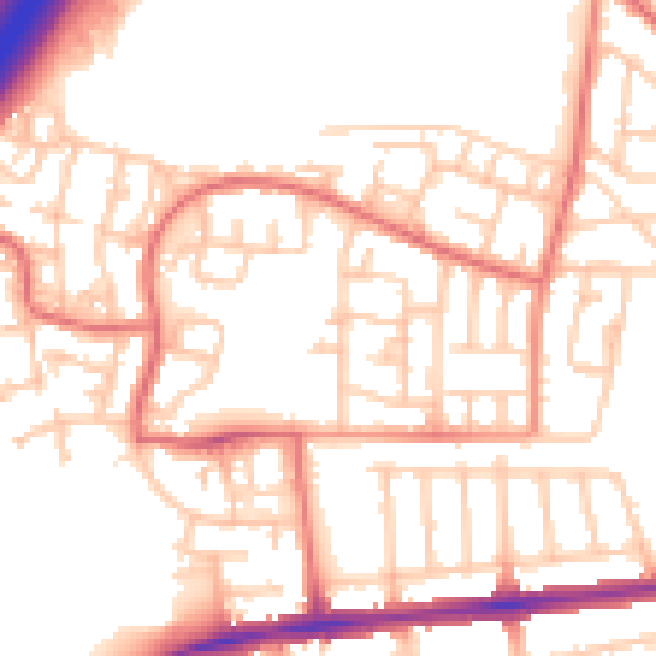
Daytime· 07:00 – 23:00
53.0dB
Night-time· 23:00 – 07:00
42.3dB