20 Ashover Road, Newcastle Upon Tyne, NE3 3GH
About 20 Ashover Road
20 Ashover Road is a two-bedroom detached house in Newcastle Upon Tyne (NE3 3GH). It has a recorded floor area of 56 m² (around 603 sq ft), construction records dating it to 2003-2006 and council tax band A. Tenure is freehold. The latest certificate (May 2021) returns a B (score 81), comfortably above the UK average. The rating has held steady at B across 2 certificates since January 2011. Between certificates, hot-water efficiency dropped from Very Good to Good and main heating dropped from Very Good to Good. At 56 m² this is the 12th smallest of 53 units on EPC record in the building, where floor areas span 41–122 m². The building's EPC ratings span C to B, with this unit at the top. The property has solar panels on record, all of which lower running costs and tend to lift resale appeal.
Its energy rating outperforms most of the postcode (better than 83% of similar EPCs). Across 2006–2020, sale prices on this property compounded at -2.2% per year. Today's modelled estimate of £109,000 is 19.8% above the 2020 sale price. Sold September 2020 for £91,000.
What this property has
Inside
- Bedrooms2
- Bathrooms1
Outside
- Communal gardenYes
- ParkingYes
Building
- TenureFreehold
- Heating systemGas fired
- Solar panelsYes
Everything you need to know about 20 Ashover Road
The true value, the hidden risks and the full sale history, in one report.
30-day money-back guarantee

The data behind every report


Energy performance
20 Ashover Road's carbon output is low for the local stock.
EPC Rating
Planning history
20 Ashover Road has no planning applications on record.
Notable planning nearby
1applications of note in the surrounding area
Sales history & valuation
20 Ashover Road's sale-price growth has lagged the wider UK trajectory across its history on file.
£109,000
Modelled from EPC, postcode comparables and a sale-price growth of -2.2% per year over 14 years.
£91,000
Growth on file: -2.2% per year over 14 years.
Sales timeline
24 September 2020Most recent
£91,000
-27.2%over 14 years13 June 2006
£124,995
Median price across the last 5 sales in NE3 3GH: £115,000 (2025–2024).
Nearby sales in NE3 3GH
52 Ashover Road, Newcastle Upon Tyne, NE3 3GH
Sold Jul 2025
£115,00070 Ashover Road, Newcastle Upon Tyne, NE3 3GH
Sold May 2025
£120,00078 Ashover Road, Newcastle Upon Tyne, NE3 3GH
Sold Dec 2024
£185,00018 Ashover Road, Newcastle Upon Tyne, NE3 3GH
Sold Nov 2024
£105,00062 Ashover Road, Newcastle Upon Tyne, NE3 3GH
Sold Nov 2024
£100,000
Versus other Ashover Road homes
CO₂ Emissions for 20 Ashover Road runs comfortably ahead of the street norm.
Price per m²
£1,625
Street avg £1,870
Floor Area
56 m²
Street avg 57 m²
Habitable Rooms
3 rooms
Street avg 3 rooms
CO₂ Emissions
1.2 t/year
Street avg 1.4 t/year
Everything you need to know about 20 Ashover Road
The true value, the hidden risks and the full sale history, in one report.
30-day money-back guarantee
The data behind every report
Similar properties nearby
The neighbourhood at a glance
Crime
6/mo
Steady year-on-year across the wider district.
Nearest stop
0.1 km
Kenton Lane - Ashover Road — bus stop.
Closest school
0.5 km
Kenton Bar Primary School. 32 schools nearby.
Go deeper on the local area
The full report breaks down crime, transport links, schools and air quality in depth.
Road noise across the postcode
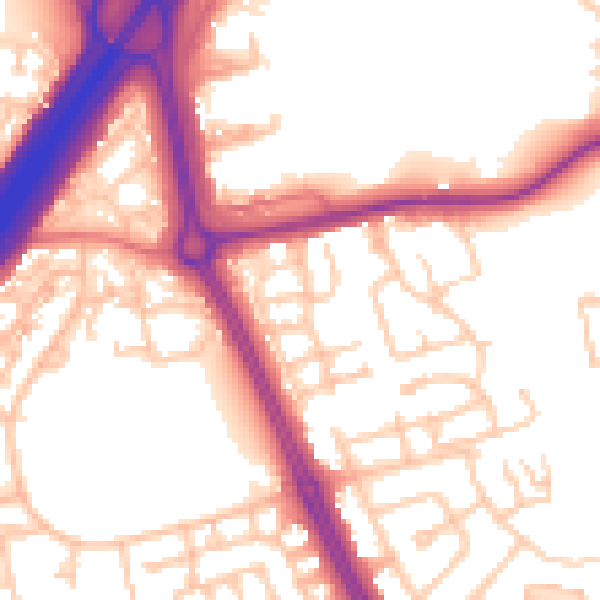
Daytime· 07:00 – 23:00
55.5dB

Night-time· 23:00 – 07:00
45.8dB