12 Bromley Court, Newcastle Upon Tyne, NE3 2YH
About 12 Bromley Court
12 Bromley Court is a semi-detached house in Newcastle Upon Tyne (NE3 2YH). It has a recorded floor area of 69 m² (around 743 sq ft), construction records dating it to 1976-1982 and council tax band B. The latest certificate (March 2014) shows a C (score 71). The recommended improvements would push it to B (score 90). The latest certificate is from March 2014, so improvements made since then won't be reflected.
Today's modelled estimate of £178,000 sits 3050.4% above the 2018 sale of £5,650. On a £-per-square-foot basis, the last sale (£8/sq ft) was about 94.8% below the postcode norm. At 69 m² it's 23% smaller than the typical home in the postcode (90 m² median across 13 EPCs). Sold August 2018 for £5,650.
Everything you need to know about 12 Bromley Court
The true value, the hidden risks and the full sale history, in one report.
30-day money-back guarantee

The data behind every report


Energy performance
12 Bromley Court's EPC is over a decade old — improvements since won't be reflected.
EPC Expired
This certificate is over 10 years old and is no longer valid.Expired 06 Mar 2024
EPC Rating
Planning history
12 Bromley Court has no planning applications on record.
The full report still covers planning activity across the surrounding area.
Sales history & valuation
Latest sale on 12 Bromley Court was the lowest on Land Registry record across the postcode.
£178,000
Modelled from EPC, postcode comparables.
£5,650
Recorded with HM Land Registry.
Sales timeline
30 August 2018Most recent
£5,650
Median price across the last 5 sales in NE3 2YH: £220,000 (2025–2023).
Nearby sales in NE3 2YH
16 Bromley Court, Newcastle Upon Tyne, NE3 2YH
Sold Sept 2025
£255,0008 Bromley Court, Newcastle Upon Tyne, NE3 2YH
Sold Mar 2024
£310,00015 Bromley Court, Newcastle Upon Tyne, NE3 2YH
Sold Jan 2024
£200,0006 Bromley Court, Newcastle Upon Tyne, NE3 2YH
Sold Jul 2023
£220,00013 Bromley Court, Newcastle Upon Tyne, NE3 2YH
Sold Apr 2021
£189,950
Versus other Bromley Court homes
Price per m² for 12 Bromley Court lags the street by a wide margin.
Price per m²
£82
Street avg £2,063
Floor Area
69 m²
Street avg 93 m²
Habitable Rooms
4 rooms
Street avg 5 rooms
CO₂ Emissions
2.6 t/year
Street avg 3.6 t/year
Everything you need to know about 12 Bromley Court
The true value, the hidden risks and the full sale history, in one report.
30-day money-back guarantee
The data behind every report
Similar properties nearby
The neighbourhood at a glance
Rail-style transport is unusually close for this postcode.
Crime
6/mo
Steady year-on-year across the wider district.
Nearest stop
0.1 km
Windsor Way-Fawdon Walk — bus stop.
Closest school
0.7 km
North Fawdon Primary School. 27 schools nearby.
Go deeper on the local area
The full report breaks down crime, transport links, schools and air quality in depth.
Road noise across the postcode
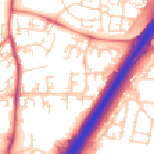
Daytime· 07:00 – 23:00
56.8dB

Night-time· 23:00 – 07:00
46.8dB