15 Laurel Avenue, Fawdon, Newcastle Upon Tyne, NE3 2RP
About 15 Laurel Avenue
15 Laurel Avenue is a three-bedroom semi-detached house in Fawdon, Newcastle Upon Tyne, Newcastle Upon Tyne (NE3 2RP). It has a recorded floor area of 100 m² (around 1076 sq ft), construction records dating it to 1930-1949 and council tax band C. The latest certificate (May 2021) shows a C (score 69), just inside the C band. The recommended improvements would push it to B (score 84).
On energy efficiency it sits in the top 10% of properties in this postcode. Today's modelled estimate of £288,000 sits 55.7% above the 2022 sale of £185,000. Sold March 2022 for £185,000. That sale was during the post-pandemic price surge, when transactions cleared materially above pre-2020 trend.
What this property has
Inside
- Bedrooms3
- Bathrooms1
Everything you need to know about 15 Laurel Avenue
The true value, the hidden risks and the full sale history, in one report.
30-day money-back guarantee

The data behind every report


Energy performance
15 Laurel Avenue ranks among the most efficient homes in the postcode for energy use.
EPC Rating
Planning history
15 Laurel Avenue has no planning applications on record.
The full report still covers planning activity across the surrounding area.
Sales history & valuation
The latest sale landed in the post-pandemic price surge — useful context when reading the figure.
£288,000
Modelled from EPC, postcode comparables.
£185,000
Recorded with HM Land Registry.
Sales timeline
11 March 2022Most recent
£185,000
Median price across the last 5 sales in NE3 2RP: £255,000 (2024–2015).
Nearby sales in NE3 2RP
6 Laurel Avenue, Fawdon, Newcastle Upon Tyne, NE3 2RP
Sold Jul 2024
£302,0009 Laurel Avenue, Fawdon, Newcastle Upon Tyne, NE3 2RP
Sold Dec 2023
£250,00017 Laurel Avenue, Fawdon, Newcastle Upon Tyne, NE3 2RP
Sold Dec 2022
£275,00016 Laurel Avenue, Fawdon, Newcastle Upon Tyne, NE3 2RP
Sold Feb 2022
£255,0005 Laurel Avenue, Fawdon, Newcastle Upon Tyne, NE3 2RP
Sold Mar 2013
£160,000
Versus other Laurel Avenue homes
On epc rating, 15 Laurel Avenue stands well clear of the street.
Price per m²
£1,850
Street avg £2,000
Floor Area
100 m²
Street avg 96 m²
Habitable Rooms
5 rooms
Street avg 5 rooms
CO₂ Emissions
4.0 t/year
Street avg 4.7 t/year
Everything you need to know about 15 Laurel Avenue
The true value, the hidden risks and the full sale history, in one report.
30-day money-back guarantee
The data behind every report
Similar properties nearby
The neighbourhood at a glance
Rail-style transport is unusually close for this postcode.
Crime
6/mo
Steady year-on-year across the wider district.
Nearest stop
0.1 km
Fawdon Lane - Pine Avenue — bus stop.
Closest school
0.4 km
Regent Farm First School. 23 schools nearby.
Go deeper on the local area
The full report breaks down crime, transport links, schools and air quality in depth.
Road noise across the postcode
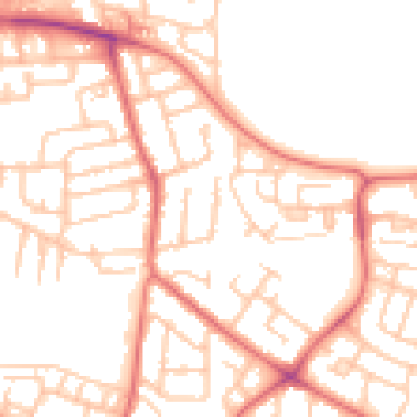
Daytime· 07:00 – 23:00
52.2dB

Night-time· 23:00 – 07:00
40.3dB