4 Budle Close, Newcastle Upon Tyne, NE3 2NR
About 4 Budle Close
4 Budle Close is a one-bedroom mid-terrace house in Newcastle Upon Tyne (NE3 2NR). It has a recorded floor area of 44 m² (around 474 sq ft), construction records dating it to 1950-1966 and council tax band A. At 44 m² this is the 3rd smallest of 8 units on EPC record in the building, where floor areas span 43–46 m². The building's EPC ratings span E to C, with this unit at the top. The latest certificate (April 2021) shows a C (score 71). The rating has held steady at C across 2 certificates since November 2008. Between certificates, wall efficiency went from Poor to Average, roof efficiency went from Average to Good and lighting went from Poor to Good; while window efficiency dropped from Good to Average.
Across 2007–2021, sale prices on this property compounded at -2.7% per year. Today's modelled estimate of £106,000 sits 92.7% above the 2021 sale of £55,000. Sold June 2021 for £55,000. That sale was during the post-pandemic price surge, when transactions cleared materially above pre-2020 trend.
What this property has
Inside
- Bedrooms1
- Bathrooms1
Everything you need to know about 4 Budle Close
The true value, the hidden risks and the full sale history, in one report.
30-day money-back guarantee

The data behind every report


Energy performance
EPC Rating
Property Improvements
Changes detected from historical EPC data
Cavity wall insulation installed
Loft insulation upgraded to recommended levels
More low energy lighting installed
Planning history
4 Budle Close has no planning applications on record.
The full report still covers planning activity across the surrounding area.
Sales history & valuation
4 Budle Close's sale-price growth has lagged the wider UK trajectory across its history on file.
£106,000
Modelled from EPC, postcode comparables and a sale-price growth of -2.7% per year over 14 years.
£55,000
Growth on file: -2.7% per year over 14 years.
Sales timeline
17 June 2021Most recent
£55,000
-31.2%over 13 years7 October 2007
£79,950
Median price across the last 3 sales in NE3 2NR: £46,000 (2020–2003).
Versus other Budle Close homes
EPC Rating
71 (C)
Street avg 66 (D)
Floor Area
44 m²
Street avg 44 m²
CO₂ Emissions
1.9 t/year
Street avg 2.4 t/year
Habitable Rooms
2 rooms
Street avg 2 rooms
Everything you need to know about 4 Budle Close
The true value, the hidden risks and the full sale history, in one report.
30-day money-back guarantee
The data behind every report
Similar properties nearby
The neighbourhood at a glance
Rail-style transport is unusually close for this postcode.
Crime
6/mo
Steady year-on-year across the wider district.
Nearest stop
0.0 km
Wansbeck Road (Tyne and Wear Metro Station) — subway entrance.
Closest school
0.2 km
Regent Farm First School. 23 schools nearby.
Go deeper on the local area
The full report breaks down crime, transport links, schools and air quality in depth.
Road noise across the postcode
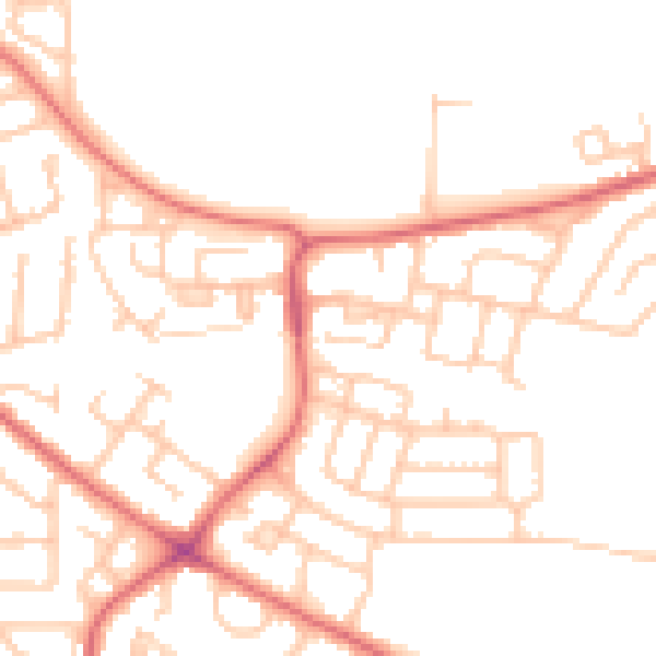
Daytime· 07:00 – 23:00
50.0dB

Night-time· 23:00 – 07:00
38.6dB