3 Aln Walk, Newcastle Upon Tyne, NE3 2LX
About 3 Aln Walk
3 Aln Walk is a three-bedroom mid-terrace house in Newcastle Upon Tyne (NE3 2LX). It has a recorded floor area of 78 m² (around 840 sq ft), construction records dating it to 1976-1982 and council tax band A. The latest certificate (October 2022) shows a C (score 73). The recommended improvements would push it to B (score 88).
At 78 m² it's 15.6% larger than the typical home in the postcode (68 m² median across 6 EPCs).
What this property has
Inside
- Bedrooms3
- Bathrooms1
Everything you need to know about 3 Aln Walk
The true value, the hidden risks and the full sale history, in one report.
30-day money-back guarantee

The data behind every report


Energy performance
EPC Rating
Planning history
3 Aln Walk has no planning applications on record.
The full report still covers planning activity across the surrounding area.
Sales history & valuation
3 Aln Walk has no Land Registry sales on file, suggesting it has stayed in the same hands since registration began.
£150,000
Modelled from EPC, postcode comparables.
No sales recorded with HM Land Registry
That can mean the property has never traded since the registry began publishing in 1995, was a new build that hasn't been registered yet, or is held in the same hands long-term.
Median price across the last 5 sales in NE3 2LX: £145,000 (2021–2014).
Nearby sales in NE3 2LX
6 Aln Walk, Newcastle Upon Tyne, NE3 2LX
Sold Feb 2021
£133,0008 Aln Walk, Newcastle Upon Tyne, NE3 2LX
Sold Aug 2020
£145,00014 Aln Walk, Newcastle Upon Tyne, NE3 2LX
Sold Jan 2018
£145,0001 Aln Walk, Newcastle Upon Tyne, NE3 2LX
Sold Feb 2008
£116,0007 Aln Walk, Newcastle Upon Tyne, NE3 2LX
Sold Oct 2004
£130,000
Versus other Aln Walk homes
EPC Rating for 3 Aln Walk runs comfortably ahead of the street norm.
EPC Rating
73 (C)
Street avg 70 (C)
Floor Area
78 m²
Street avg 73 m²
CO₂ Emissions
2.7 t/year
Street avg 2.7 t/year
Habitable Rooms
4 rooms
Street avg 4 rooms
Everything you need to know about 3 Aln Walk
The true value, the hidden risks and the full sale history, in one report.
30-day money-back guarantee
The data behind every report
Similar properties nearby
The neighbourhood at a glance
Rail-style transport is unusually close for this postcode.
Crime
6/mo
Steady year-on-year across the wider district.
Nearest stop
0.2 km
Wansbeck Road (Tyne and Wear Metro Station) — subway entrance.
Closest school
0.2 km
Regent Farm First School. 23 schools nearby.
Go deeper on the local area
The full report breaks down crime, transport links, schools and air quality in depth.
Road noise across the postcode
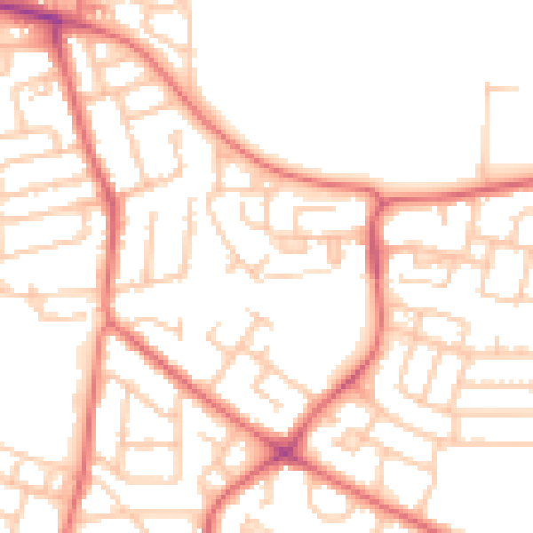
Daytime· 07:00 – 23:00
51.8dB

Night-time· 23:00 – 07:00
39.7dB