5a, Aln Avenue, Newcastle Upon Tyne, NE3 2LS
About 5a
5a is a two-bedroom detached house in Newcastle Upon Tyne (NE3 2LS). It has a recorded floor area of 59 m² (around 640 sq ft), construction records dating it to 1930-1949 and council tax band A. At 59 m² this is the 3rd smallest of 29 units on EPC record in the building, where floor areas span 56–103 m². The building's EPC ratings span E to C, with this unit at the top. The latest certificate (June 2010) shows a C (score 73). The latest certificate is from June 2010, so improvements made since then won't be reflected.
Today's modelled estimate of £107,000 sits 94.5% above the 2012 sale of £55,000. On a £-per-square-foot basis, the last sale (£86/sq ft) was about 23.3% below the postcode norm. 14 years since the last transfer (March 2012). At 59 m² it's 29.2% smaller than the typical home in the postcode (84 m² median across 28 EPCs).
What this property has
Inside
- Bedrooms2
- Dining roomYes
- Utility roomYes
- EnsuiteYes
Building
- LiftYes
Everything you need to know about 5a
The true value, the hidden risks and the full sale history, in one report.
30-day money-back guarantee

The data behind every report


Energy performance
5a's EPC is over a decade old — improvements since won't be reflected.
EPC Expired
This certificate is over 10 years old and is no longer valid.Expired 28 Jun 2020
EPC Rating
Planning history
5a has no planning applications on record.
The full report still covers planning activity across the surrounding area.
Sales history & valuation
Latest sale on 5a was the lowest on Land Registry record across the postcode.
£107,000
Modelled from EPC, postcode comparables.
£55,000
Recorded with HM Land Registry.
Sales timeline
7 March 2012Most recent
£55,000
Median price across the last 5 sales in NE3 2LS: £100,000 (2025–2016).
Nearby sales in NE3 2LS
39 Aln Avenue, Newcastle Upon Tyne, NE3 2LS
Sold Apr 2025
£235,00033 Aln Avenue, Newcastle Upon Tyne, NE3 2LS
Sold Nov 2019
£95,00029 Aln Avenue, Newcastle Upon Tyne, NE3 2LS
Sold Jun 2019
£100,00023 Aln Avenue, Newcastle Upon Tyne, NE3 2LS
Sold Jul 2016
£100,00015 Aln Avenue, Newcastle Upon Tyne, NE3 2LS
Sold May 2007
£121,000
Versus other Aln Avenue homes
EPC Rating
73 (C)
Street avg 73 (C)
Floor Area
59 m²
Street avg 60 m²
CO₂ Emissions
2.5 t/year
Street avg 2.3 t/year
Habitable Rooms
3 rooms
Street avg 3 rooms
Everything you need to know about 5a
The true value, the hidden risks and the full sale history, in one report.
30-day money-back guarantee
The data behind every report
Similar properties nearby
The neighbourhood at a glance
Rail-style transport is unusually close for this postcode.
Crime
6/mo
Steady year-on-year across the wider district.
Nearest stop
0.1 km
Kingston Park Road-Shaftoe Court — bus stop.
Closest school
0.2 km
Regent Farm First School. 23 schools nearby.
Go deeper on the local area
The full report breaks down crime, transport links, schools and air quality in depth.
Road noise across the postcode
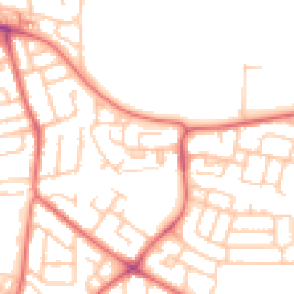
Daytime· 07:00 – 23:00
51.2dB

Night-time· 23:00 – 07:00
39.3dB