14 Alnham Court, Newcastle Upon Tyne, NE3 2JT
About 14 Alnham Court
14 Alnham Court is a three-bedroom mid-terrace house in Newcastle Upon Tyne (NE3 2JT). It has a recorded floor area of 81 m² (around 872 sq ft), construction records dating it to 1983-1990 and council tax band A. The latest certificate (August 2023) shows a C (score 78), near the top of the C band. The rating has held steady at C across 2 certificates since August 2013. Between certificates, wall efficiency went from Good to Very Good; while window efficiency dropped from Good to Average.
Untraded for 23 years, with the last transfer in September 2003. Today's modelled estimate of £117,000 sits 108.9% above the 2003 sale of £56,000.
What this property has
Inside
- Bedrooms3
- Bathrooms1
Outside
- Private gardenYes
Building
- Heating systemGas
Everything you need to know about 14 Alnham Court
The true value, the hidden risks and the full sale history, in one report.
30-day money-back guarantee

The data behind every report


Energy performance
EPC Rating
Property Improvements
Changes detected from historical EPC data
Wall insulation improved
Planning history
14 Alnham Court has no planning applications on record.
The full report still covers planning activity across the surrounding area.
Sales history & valuation
14 Alnham Court valuation sits well clear of the typical sold price in this postcode.
£117,000
Modelled from EPC, postcode comparables.
£56,000
Recorded with HM Land Registry.
Sales timeline
25 September 2003Most recent
£56,000
Median price across the last 5 sales in NE3 2JT: £71,100 (2025–2020).
Nearby sales in NE3 2JT
23 Alnham Court, Newcastle Upon Tyne, NE3 2JT
Sold Jun 2025
£80,00010 Alnham Court, Newcastle Upon Tyne, NE3 2JT
Sold May 2024
£59,0001 Alnham Court, Newcastle Upon Tyne, NE3 2JT
Sold Sept 2022
£90,00015 Alnham Court, Newcastle Upon Tyne, NE3 2JT
Sold Mar 2021
£71,10019 Alnham Court, Newcastle Upon Tyne, NE3 2JT
Sold Oct 2020
£35,500
Versus other Alnham Court homes
EPC Rating for 14 Alnham Court runs comfortably ahead of the street norm.
Price per m²
£691
Street avg £882
Floor Area
81 m²
Street avg 78 m²
Habitable Rooms
3 rooms
Street avg 4 rooms
CO₂ Emissions
2.1 t/year
Street avg 2.8 t/year
Everything you need to know about 14 Alnham Court
The true value, the hidden risks and the full sale history, in one report.
30-day money-back guarantee
The data behind every report
Similar properties nearby
The neighbourhood at a glance
Rail-style transport is unusually close for this postcode.
Crime
6/mo
Steady year-on-year across the wider district.
Nearest stop
0.2 km
Fawdon Park Road — bus stop.
Closest school
0.5 km
North Fawdon Primary School. 28 schools nearby.
Go deeper on the local area
The full report breaks down crime, transport links, schools and air quality in depth.
Road noise across the postcode
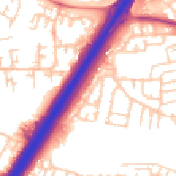
Daytime· 07:00 – 23:00
55.8dB

Night-time· 23:00 – 07:00
46.1dB