42 Broadway West, Newcastle Upon Tyne, NE3 2HY
About 42 Broadway West
42 Broadway West is a three-bedroom end-of-terrace house in Newcastle Upon Tyne (NE3 2HY). It has a recorded floor area of 102 m² (around 1098 sq ft), construction records dating it to 1930-1949 and council tax band B. Tenure is freehold. The latest certificate (October 2022) shows a C (score 72). The recommended improvements would push it to B (score 84).
Today's modelled estimate of £221,000 is 24.9% above the 2023 sale price. Most recent transfer: February 2023 at £177,000.
What this property has
Inside
- Bedrooms3
- Bathrooms1
Outside
- GarageEn bloc
Building
- TenureFreehold
- RefurbishedYes
Everything you need to know about 42 Broadway West
The true value, the hidden risks and the full sale history, in one report.
30-day money-back guarantee

The data behind every report


Energy performance
EPC Rating
Planning history
42 Broadway West has no planning applications on record.
The full report still covers planning activity across the surrounding area.
Sales history & valuation
42 Broadway West valuation sits well clear of the typical sold price in this postcode.
£221,000
Modelled from EPC, postcode comparables.
£177,000
Recorded with HM Land Registry.
Sales timeline
22 February 2023Most recent
£177,000
Median price across the last 5 sales in NE3 2HY: £207,500 (2024–2021).
Nearby sales in NE3 2HY
60 Broadway West, Newcastle Upon Tyne, NE3 2HY
Sold Oct 2024
£177,00074 Broadway West, Newcastle Upon Tyne, NE3 2HY
Sold Sept 2024
£205,00062 Broadway West, Newcastle Upon Tyne, NE3 2HY
Sold Jan 2023
£266,25068 Broadway West, Newcastle Upon Tyne, NE3 2HY
Sold Nov 2021
£210,00043 Broadway West, Newcastle Upon Tyne, NE3 2HY
Sold Jan 2021
£207,500
Versus other Broadway West homes
42 Broadway West outperforms the street on epc rating by a wide margin.
Price per m²
£1,735
Street avg £1,966
Floor Area
102 m²
Street avg 93 m²
Habitable Rooms
4 rooms
Street avg 5 rooms
CO₂ Emissions
3.5 t/year
Street avg 4.3 t/year
Everything you need to know about 42 Broadway West
The true value, the hidden risks and the full sale history, in one report.
30-day money-back guarantee
The data behind every report
Similar properties nearby
The neighbourhood at a glance
Rail-style transport is unusually close for this postcode.
Crime
6/mo
Steady year-on-year across the wider district.
Nearest stop
0.2 km
Broadway West-Highbridge — bus stop.
Closest school
0.3 km
Grange First School. 25 schools nearby.
Go deeper on the local area
The full report breaks down crime, transport links, schools and air quality in depth.
Road noise across the postcode
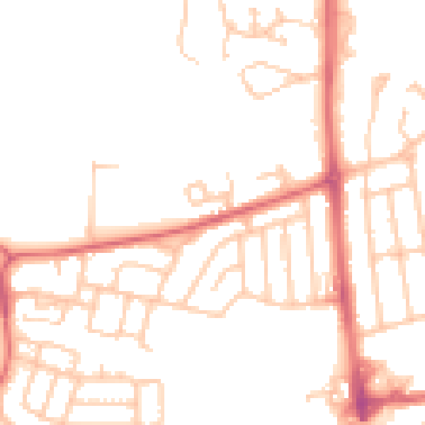
Daytime· 07:00 – 23:00
49.1dB

Night-time· 23:00 – 07:00
39.0dB