5 Bramwell Court, Newcastle Upon Tyne, NE3 1XB
About 5 Bramwell Court
5 Bramwell Court is an end-of-terrace house in Newcastle Upon Tyne (NE3 1XB). It has a recorded floor area of 52 m² (around 560 sq ft), construction records dating it to 1967-1975 and council tax band A. At 52 m² this is the 2nd smallest of 25 units on EPC record in the building, where floor areas span 48–67 m². The building's EPC ratings span D to C, with this unit at the top. The latest certificate (September 2025) shows a C (score 75), near the top of the C band. The rating has held steady at C across 2 certificates since February 2011. Between certificates, wall efficiency went from Poor to Very Good; while window efficiency dropped from Good to Average and hot-water efficiency dropped from Very Good to Good.
At 52 m² it's 16.1% smaller than the typical home in the postcode (62 m² median across 24 EPCs).
Everything you need to know about 5 Bramwell Court
The true value, the hidden risks and the full sale history, in one report.
30-day money-back guarantee

The data behind every report


Energy performance
EPC Rating
Property Improvements
Changes detected from historical EPC data
Hot water efficiency decreased
Cavity wall insulation installed
Planning history
5 Bramwell Court has no planning applications on record.
Notable planning nearby
1applications of note in the surrounding area
Sales history & valuation
5 Bramwell Court has no Land Registry sales on file, suggesting it has stayed in the same hands since registration began.
£123,000
Modelled from EPC, postcode comparables.
No sales recorded with HM Land Registry
That can mean the property has never traded since the registry began publishing in 1995, was a new build that hasn't been registered yet, or is held in the same hands long-term.
Median price across the last 4 sales in NE3 1XB: £63,975 (2016–2003).
Versus other Bramwell Court homes
On floor area, 5 Bramwell Court runs well behind the street norm.
EPC Rating
75 (C)
Street avg 74 (C)
Floor Area
52 m²
Street avg 61 m²
CO₂ Emissions
1.6 t/year
Street avg 2.0 t/year
Habitable Rooms
3 rooms
Street avg 3 rooms
Everything you need to know about 5 Bramwell Court
The true value, the hidden risks and the full sale history, in one report.
30-day money-back guarantee
The data behind every report
Similar properties nearby
The neighbourhood at a glance
Rail-style transport is unusually close for this postcode.
Crime
6/mo
Steady year-on-year across the wider district.
Nearest stop
0.4 km
Church Avenue-Church Road — bus stop.
Closest school
0.0 km
Archbishop Runcie CofE First School. 28 schools nearby.
Go deeper on the local area
The full report breaks down crime, transport links, schools and air quality in depth.
Road noise across the postcode
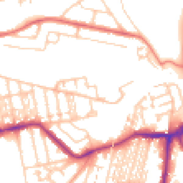
Daytime· 07:00 – 23:00
52.0dB

Night-time· 23:00 – 07:00
41.7dB