9 Killingworth Road, South Gosforth, Newcastle Upon Tyne, NE3 1TB
About 9 Killingworth Road
9 Killingworth Road is a mid-terrace house in South Gosforth, Newcastle Upon Tyne, Newcastle Upon Tyne (NE3 1TB). It has a recorded floor area of 96 m² (around 1033 sq ft), construction records dating it to 1900-1929 and council tax band A. The latest certificate (June 2017) shows an E (score 52), well below the UK norm with real room to improve. The recommended improvements would lift it to B (score 83), a 3-band jump.
Everything you need to know about 9 Killingworth Road
The true value, the hidden risks and the full sale history, in one report.
30-day money-back guarantee

The data behind every report


Energy performance
9 Killingworth Road's carbon output runs well above what efficient homes in the postcode produce.
EPC Rating
Planning history
9 Killingworth Road has no planning applications on record.
Notable planning nearby
1applications of note in the surrounding area
We flagged 1 thing worth checking at 9 Killingworth Road
Independent checks surfaced things a buyer would want to understand before offering. The report explains each one in full, with the underlying data and what to ask.
- Environmental risk flagged
30-day money-back guarantee
Sales history & valuation
9 Killingworth Road has no Land Registry sales on file, suggesting it has stayed in the same hands since registration began.
£176,000
Modelled from EPC, postcode comparables.
No sales recorded with HM Land Registry
That can mean the property has never traded since the registry began publishing in 1995, was a new build that hasn't been registered yet, or is held in the same hands long-term.
Median price across the last 5 sales in NE3 1TB: £193,000 (2025–2017).
Nearby sales in NE3 1TB
11 Killingworth Road, South Gosforth, Newcastle Upon Tyne, NE3 1TB
Sold Mar 2025
£193,0003 Killingworth Road, South Gosforth, Newcastle Upon Tyne, NE3 1TB
Sold Aug 2022
£250,0001 Killingworth Road, South Gosforth, Newcastle Upon Tyne, NE3 1TB
Sold Mar 2022
£262,00027 Killingworth Road, South Gosforth, Newcastle Upon Tyne, NE3 1TB
Sold Feb 2020
£80,00019 Killingworth Road, South Gosforth, Newcastle Upon Tyne, NE3 1TB
Sold Oct 2015
£145,000
Versus other Killingworth Road homes
EPC Rating
52 (E)
Street avg 58 (D)
Floor Area
96 m²
Street avg 103 m²
CO₂ Emissions
6.3 t/year
Street avg 6.0 t/year
Habitable Rooms
4 rooms
Street avg 5 rooms
Everything you need to know about 9 Killingworth Road
The true value, the hidden risks and the full sale history, in one report.
30-day money-back guarantee
The data behind every report
Similar properties nearby
The neighbourhood at a glance
Rail-style transport is unusually close for this postcode.
Crime
6/mo
Steady year-on-year across the wider district.
Nearest stop
0.1 km
South Gosforth Roundabout — bus stop.
Closest school
0.4 km
St Mary's Catholic School. 29 schools nearby.
Go deeper on the local area
The full report breaks down crime, transport links, schools and air quality in depth.
Road noise across the postcode
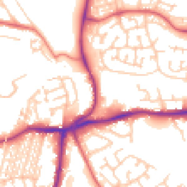
Daytime· 07:00 – 23:00
53.8dB

Night-time· 23:00 – 07:00
43.6dB