29 Audley Road, Newcastle Upon Tyne, NE3 1QH
About 29 Audley Road
29 Audley Road is a mid-terrace house in Newcastle Upon Tyne (NE3 1QH). It has a recorded floor area of 68 m² (around 732 sq ft), construction records dating it to 1983-1990 and council tax band B. The latest certificate (February 2021) shows a C (score 71). When first surveyed in September 2009 the rating was D, the property has climbed 1 band since. Between certificates, roof efficiency went from Average to Good and hot-water efficiency went from Average to Good. The recommended improvements would push it to B (score 88).
Everything you need to know about 29 Audley Road
The true value, the hidden risks and the full sale history, in one report.
30-day money-back guarantee

The data behind every report


Energy performance
EPC Rating
Property Improvements
Changes detected from historical EPC data
Heating system upgraded to a more efficient system
Heating controls upgraded for better temperature management
Hot water system upgraded
Loft insulation upgraded to recommended levels
More low energy lighting installed
Planning history
29 Audley Road has no planning applications on record.
Notable planning nearby
1applications of note in the surrounding area
Sales history & valuation
29 Audley Road has no Land Registry sales on file, suggesting it has stayed in the same hands since registration began.
£227,000
Modelled from EPC, postcode comparables.
No sales recorded with HM Land Registry
That can mean the property has never traded since the registry began publishing in 1995, was a new build that hasn't been registered yet, or is held in the same hands long-term.
Median price across the last 5 sales in NE3 1QH: £185,000 (2025–2024).
Nearby sales in NE3 1QH
111 Audley Road, Newcastle Upon Tyne, NE3 1QH
Sold Aug 2025
£176,500151 Audley Road, Newcastle Upon Tyne, NE3 1QH
Sold Sept 2024
£255,000Audley House, Flat 2, 5 Audley Road, Newcastle Upon Tyne, NE3 1QH
Sold Aug 2024
£125,000141 Audley Road, Newcastle Upon Tyne, NE3 1QH
Sold May 2024
£185,00037 Audley Road, Newcastle Upon Tyne, NE3 1QH
Sold Apr 2024
£235,000
Versus other Audley Road homes
On habitable rooms, 29 Audley Road stands well clear of the street.
EPC Rating
71 (C)
Street avg 70 (C)
Floor Area
68 m²
Street avg 66 m²
CO₂ Emissions
2.7 t/year
Street avg 2.7 t/year
Habitable Rooms
5 rooms
Street avg 4 rooms
Everything you need to know about 29 Audley Road
The true value, the hidden risks and the full sale history, in one report.
30-day money-back guarantee
The data behind every report
Similar properties nearby
The neighbourhood at a glance
Rail-style transport is unusually close for this postcode.
Crime
6/mo
Steady year-on-year across the wider district.
Nearest stop
0.1 km
South Gosforth Roundabout — bus stop.
Closest school
0.5 km
South Gosforth First School. 29 schools nearby.
Go deeper on the local area
The full report breaks down crime, transport links, schools and air quality in depth.
Road noise across the postcode
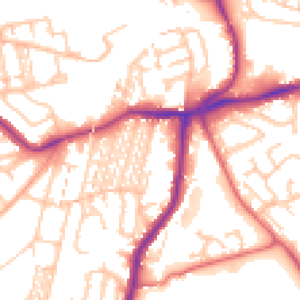
Daytime· 07:00 – 23:00
54.0dB

Night-time· 23:00 – 07:00
43.6dB